27 July - Day 52: Canastota to Canajoharie – 136.5 km @ 17.7 km/h
When I left the hotel in the morning there was a light rain. In spite of having had some cereal for breakfast I was still hungry so I cycled over to McDonalds and sat inside eating hotcakes an reading the paper in the (forlorn) hope that the rain would pass. At 10:15 I gave up and donning my rain pants an Goretex jacket and headed over back to the canal.
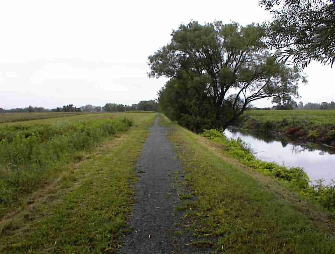
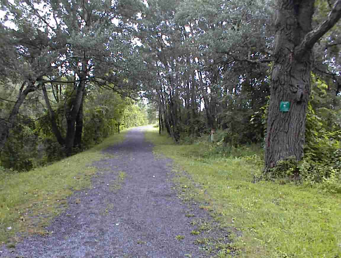
The canal passed through open fields with farms on the side. It was very fertile land and the farms looked quite prosperous. Later on the path went into trees and it was a lovely ride.
At one stage I came across a crew working on maintaining the trail. There were four of them standing around having a chat—a typical road crew. They were a friendly bunch and I complemented them on the state of the trail. The trail was in great condition and reflected a lot of effort. I commented on the weather and how poor the forecasts were. They concurred as it was supposed to have been a sunny day and here they were ‘working’ in the rain. I commented that it must be great being a weather forecaster in one sense since nobody seems to notice how wrong they always are …
I was told that the trail would end up ahead and I had two options for going to the city of Rome. They suggested I head over to the lock instead of taking the road (I quipped that ‘all roads lead to Rome’). I did this but the bridge across the canal was out. Fortunately, the lockkeeper suggested I take my bike across the gate which I did.
The trail followed the old canal which was largely overgrown. There were trees planted on the side of the embankment and it was a delightful ride. The rain was now just a fine mist and as I passed through the forest I hardly noticed it. I passed two cyclists travelling in the other direction and a tractor maintaining the trail, but otherwise the 10 km was all to myself.
The trail ended just before Erie Canal Village which is on the edge of Rome. Since I had failed the previous day when the Syracuse museum was closed I decided to indulge myself with a visit.
The village consisted of a number of 19th century buildings showing life during the period when the canal was at its peak. It started with a video which covered the history of the canal. This was most interesting and it filled in some questions that I had.
Rome was located at a critical point between the Mohawk River, which flows to the Atlantic, and Wood Creek which flows to Lake Ontario. The 2 mile portage between the rivers was well known to the Indians and during the French/British wars and the revolution this was a strategic area fought over. It was also the location of the first canal which connected the two and this was a precursor to the much larger Erie canal.
They had a ‘packet boat’ which was used to carry passengers. It was towed along the tow path by a horse-drawn team so it accurately reflected the experience of the time. Time didn’t allow me to go for a ride but it was quite well patronised.
There was a museum which covered the history of the building of the canal. The canal was reported to have cost $6 million and there was great debate at the time as to the wisdom of building it. Thomas Jefferson was quoted as saying it was madness and there was a lot of political opposition. However, it went ahead and in the end they collected $42 million in tolls and more than paid for itself.
I found the displays on the construction very fascinating. They had to cut a ditch 40’ wide and 4’ deep through virgin forest. I had pondered how they would have removed all the stumps and I got the answer here—quite impressive. They built a contraption with two 16’ diameter wheels on the outside and a 14’ wheel in the middle. The outer wheels were put on a base so that it could be turned in place. Two oxen were connected to the centre wheel and as they pulled the wheel a chain attached to the axle lifted the stump.
They had an impressive selection of photographs and other displays. The canal failures were most interesting as were the bridges that had collapsed or been damaged. I chatted with a fellow who had lived near the canal failure that I read about at Medina. He commented that 10 years before the contractors worked on the section that failed he had been approached by a contractor who wanted to work near him. He was told that the other sections were not stable enough … and guess where the contractor worked 10 years later.
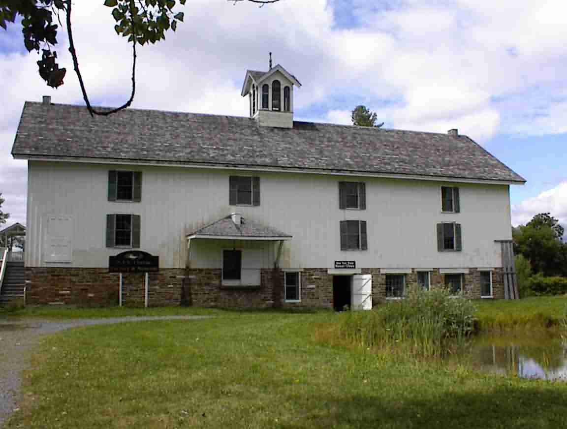
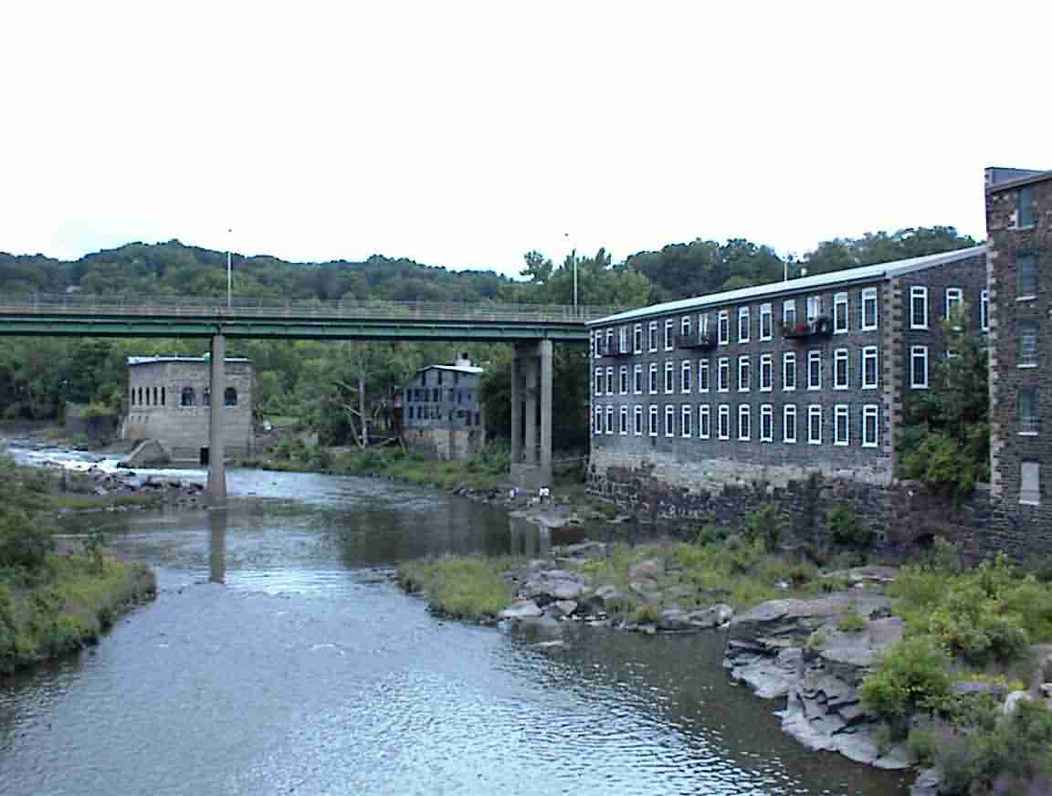
My next visit was to the museum of cheese. At one time the cheese industry was massive in NY and the museum was housed in a former factory (see below). They had all the paraphernalia associated with the production of cheese over the years; from the early 1800s to modern times. The photos were also interesting, particularly of farmers bringing a multitude of milk cans to the factory. It was interesting to read how cheese making was as much an art as a science and that women cheese makers were employed at the same wages as men.
I had never appreciated just how intricate the process for making cheese was. There was a series of photos showing all stages of the production from the milk arriving in the factory to the cheese being cured for months in a temperature controlled room. One wonders how such a complicated process was discovered, let alone refined.
Perhaps the most impressive display was the mould used to make the world’s largest cheese. You could stand in the mould so it was about 6’ in diameter and a further 6-8’ high. The total weight of the cheese was reported at 1400 lbs. That is quite a cheese! It was eaten at a presidential inauguration early this century.
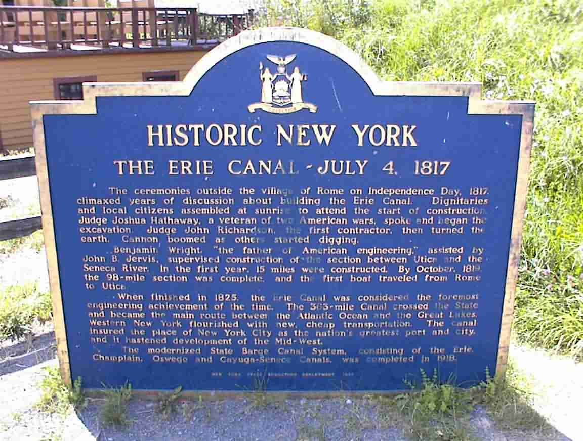
There were several other buildings which I visited and as I was leaving I saw the plaque below. This commemorated the start of the canal since it was at this site that they turned the first spade of soil. Good to see history being remembered.
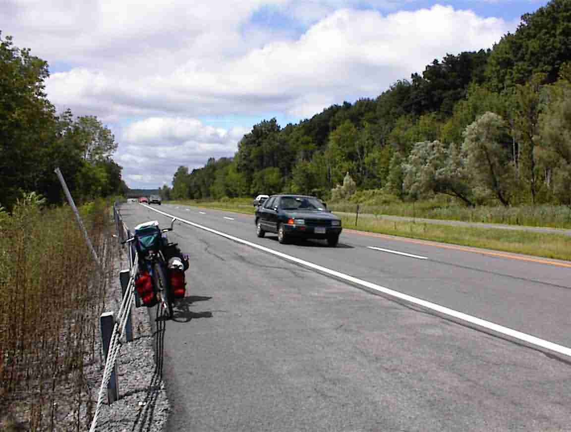
After a nice visit it was on my bike again. I stopped for a submarine sandwich and headed through Rome. I passed Fort Sedgwick which dated back to colonial times. The traffic was moderate and I was pleased to be out of town, but it was a mixed blessing as there was a divided highway with moderate traffic. The biggest problem arises at exits since vehicles scream by at high speed and one needs to be very aware of what is around.
The road was not well marked and blow me over if it took me south over the canal, looped around after a couple of miles, and took me north over the canal once again. I could have saved many frazzled nerves had I just cut across east instead of following the road. Blame it on my map. The one that I have showed the cycle route to be south of the canal but it is actually north. Not to worry, I’ll be writing the publisher!
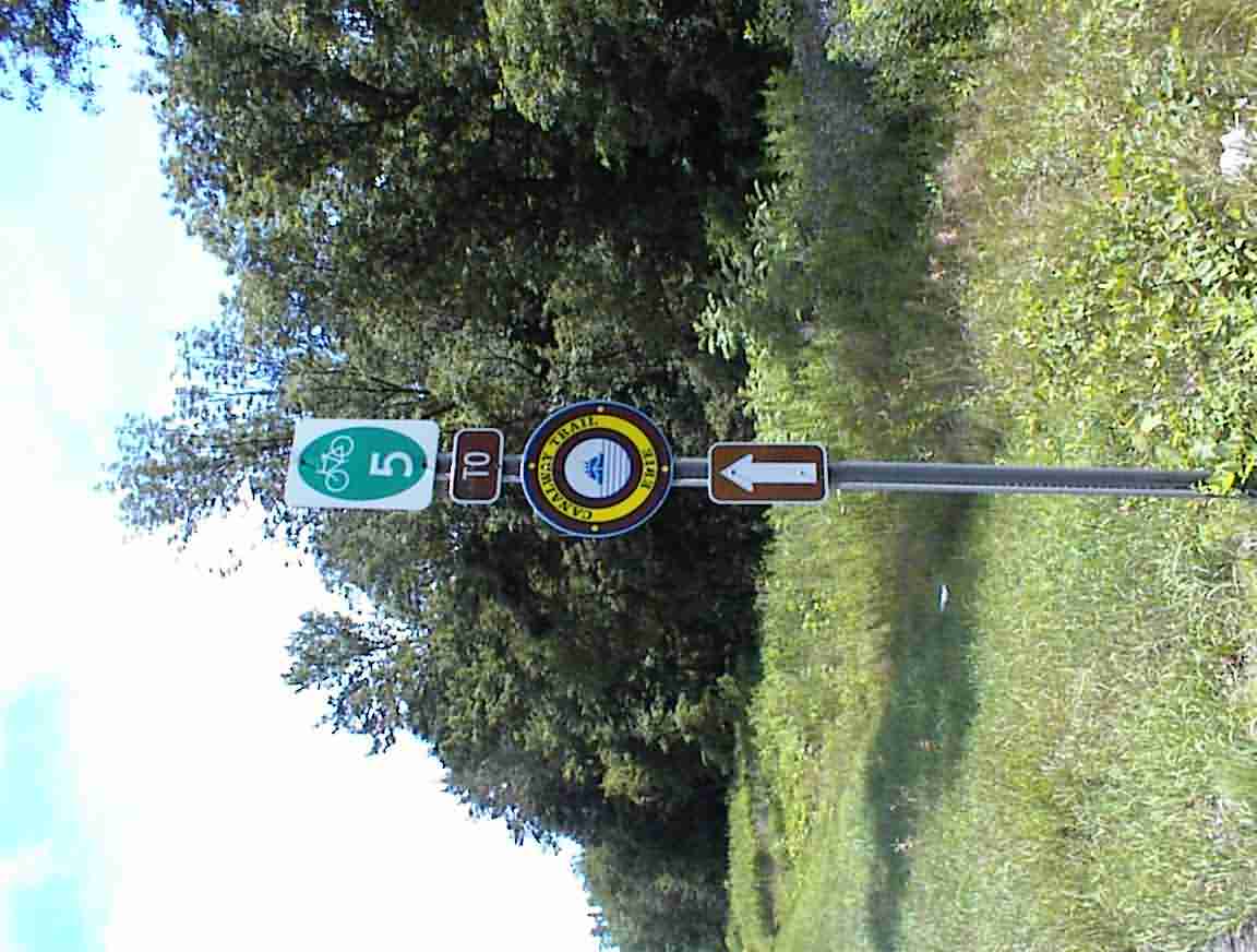
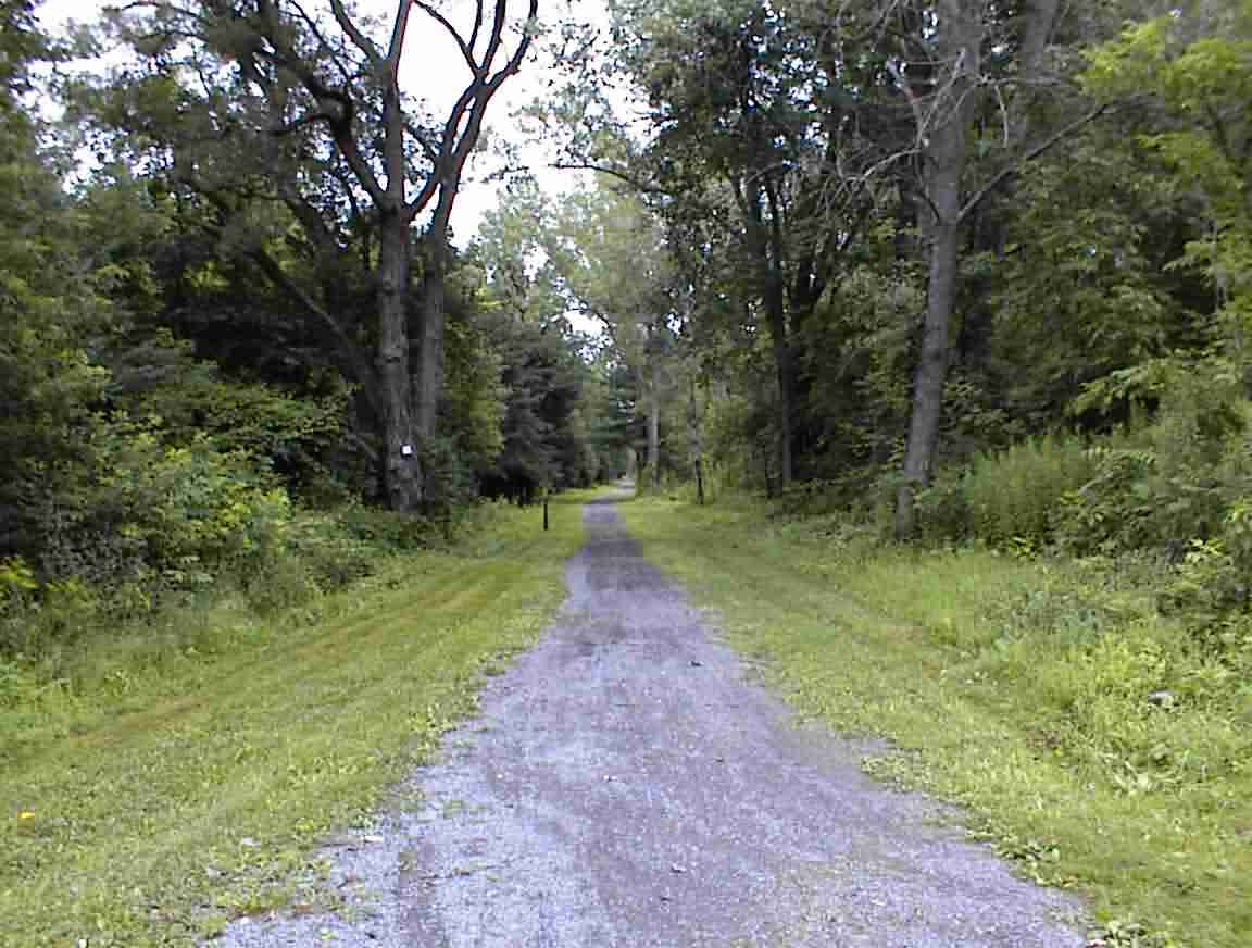
The road took me to Utica and I found a lock which was the start of the canal trail again. This was a short section but it ran through the city so I wanted to follow it. Unfortunately, it was on the south side of the canal so I needed to cross over. The canal keeper wouldn’t let me cross the gate so I cycled 1 km down and crossed at a bridge. The trail was quite rough but there was no traffic so it was a pleasure to be back in quiet nature again. I got lost towards the end of the trail but there was a fellow who directed me back to the trail. Eventually, the trail ended and I ended up having to cycle into town. Once again, it was traumatic and I found myself on a circuitous route through the city. Fortunately, I was on the east side of the city so before long I was in the country again.
The road followed along the Mohawk river valley and there were more hills than I’ve had for a while. It was a divided road with lots of (fast) traffic, but fortunately there was a wide shoulder. I followed the road to the town of Mohawk and went into town in search of food. At the petrol station I chatted with a local woman and her son who were incredulous that I had come so far.
Refreshed, I continued and went across the river to Herkimer. I was still hungry so decided to go to a restaurant for something to eat. They had nothing vegetarian but had some amazing ice creams so I decided to be totally indulgent and got a great hit of chocolate. It really perked me up for the remainder of my ride.
As I cycled out of town I noticed an abandoned railway bridge by the side of the road. This showed that it was not only canals whose time has passed.
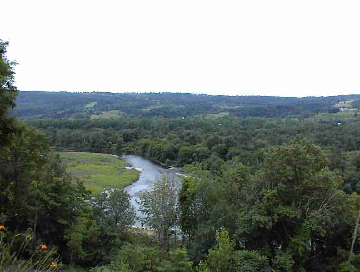
The road took me up into the Mohawk hills but I didn’t find the cycling too difficult. Must be my sugar hit. Actually, throughout the trip I’ve found that as the day wears on the cycling becomes easier for me. Perhaps it is the realisation that I’ve still got a way to go to make my destination. It was lovely looking down into the valley; I’m so glad that I’m finished with the flat lands, even though it is nice to cycle along a gentle grade.
My gears were acting up again so once I had reached the top of the hills I stopped regularly on the downhill section and tried different adjustments. I must have stopped upwards of 20 times and they are definitely better, but still need some more adjustments. Tomorrow.
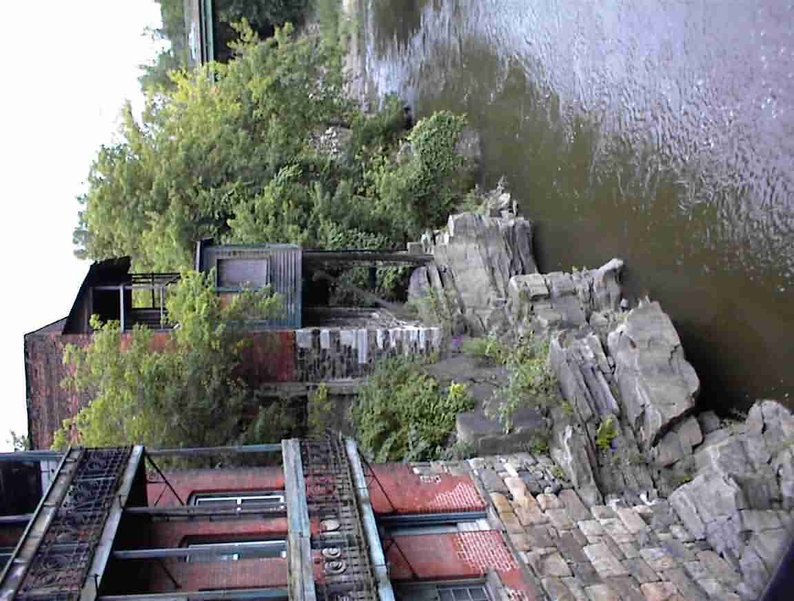
I was planning on staying in Little Falls and I soon reached the town. It was nestled with hills on the side and was very well sheltered. This was once a major port town and they have turned some of the old buildings in the centre of town into a canal centre. There were a number of boutiques and restaurants—most of which were closed since it was so late in the day. There were still many abandoned buildings, some of which were built so close to the river that I’m surprised they haven’t fallen in.
I cycled over to Lock 17. This was impressive to say the least as it has a fall of 40.5’. That may not sound like a lot but it is phenomenal. Most of the other locks I had seen had about 12’ falls, with a few at 24’ but 40’ is just huge. You look down into this deep cavern and I couldn’t even get a photo which covered the full distance to the water. With 24 million litres in the tank, it is one massive engineering feat.
The lockmaster Mark was painting but keen for a break so we went and sat in his office and he told me about the lock and showed me photos of its construction. As an engineer I find it humbling when I see what they achieved 100 years ago with basic machinery and strong backs. The volume of fill used in building this lock was just phenomenal.
Mark told me that the canals used to be under the highway department and they were always starved for funds. He told me how if they dropped a tool in the water—an occupational hazard—they would often just buy their own new one since it would take years to get the tools replaced through the system. They were even allocated 2 gallons of paint a year. This doesn’t go far when the gates are about 60’ high. Now they are under the NY Throughway Authority who have bags of money. Their budget is $50 million a year which means they can keep things up to standard. Since the canal system is considered to be a historical relic it is good that they are spending funds on it. However, I was surprised when Mark said that boats were not the main purpose of the canal: it is flood control. While 2000 boats pass through each year, most of the benefits come from preventing flooding in nearby areas. He told me how this year at Lock 12 the water was 3’ higher than the top of the gates so flooding is a real problem.
After I wheeled my bike down the stairs I met Roger and Delora. They are retirees from Winnipeg who were visiting NY before moving to Nova Scotia. He was a mechanical/electrical engineer who has been involved in projects in developing countries. Had very similar experiences to mine so it is not just roads where these things happen.
Although it was getting late I felt keen to move on so I decided to cycle for Fort Plain, about 20 km away. The lockkeeper gave me directions which, to my dismay, I followed. These took me south of the canal and up into the hills over the Mohawk. It was lovely looking down, particularly as dusk settled, and one could see the lights shining from the houses. I was surprised how far I went uphill and was rewarded with a great downhill run into town.
The town looked quite interesting with lots of nice old buildings. I stopped at a petrol station for a drink and chatted with a young couple. They said that there was nowhere to stay in town and suggested that I try the motel in the next town. Since there was a cycle path I decided to continue on and was rewarded with a delightful ride along a wide, smooth path. I looked for places to camp and while there were several I decided that the proximity to the Interstate would not give me a very good night so I pushed on to Canajoharie.
The town was much quieter than Fort Plain and I asked at the police station where I could stay. He suggested the local motel which I duly found. Run by a Gujarati from Surat he wanted what I thought was a too high price. He has been away too long and wouldn’t negotiate a lower price so I gave in and got a nice room for the night. After showering and answering e-mails it was a late night.
On to the Next Day or Back to the Home Page loans loans loans loans loans loans loans loans loans loans loans loans loans loans loans loans loans loans loans loans loans loans loans loans loans loans loans loans loans loans loans loans loansloans loans loans loans loans loans loans insurance insurance mortgage mortgage