14 June - Day 16: Salt Lake City UT to near Heber City - 55.0 km @ 10.7 km/h
I had a late start once again – seems to be a pattern whenever I stay in motels. I usually make some phone calls and work on the web site which seems to take up a lot of time.I was unable to fill my water bottles in the hotel room so I went down and tried in the laundry but there was no tap. Nor could I find one around the outside of the hotel. In the end the receptionist filled a couple of them for me, but not my 3 litre ‘sack’. This was to prove to be a problem, but more of that later…
I cycled south of the city and enjoyed a cycle lane for at least part of the way. It was most appreciated since the traffic was very heavy and travelled very fast. I was aiming for a cycle shop which was quite easy to find. All roads are numbered N to S and E to W and have numbers – at least the main ones – and the city is laid out in a grid pattern. Many roads are very wide, based on the turning radius of an ox-cart, and on one section I counted 8 lanes plus a turning lane. Needless to say it was a bit scary at times!
The bike shop had what I was looking for, a new seat, and I bought it and fitted it in the parking lot. Even though my bags were already full, I managed to fit the old one in just in case the new one wasn’t comfortable enough. The new one isn’t as nice to sit on as my old one, but it does reduce numbness in certain key components so I’ll stay with it.
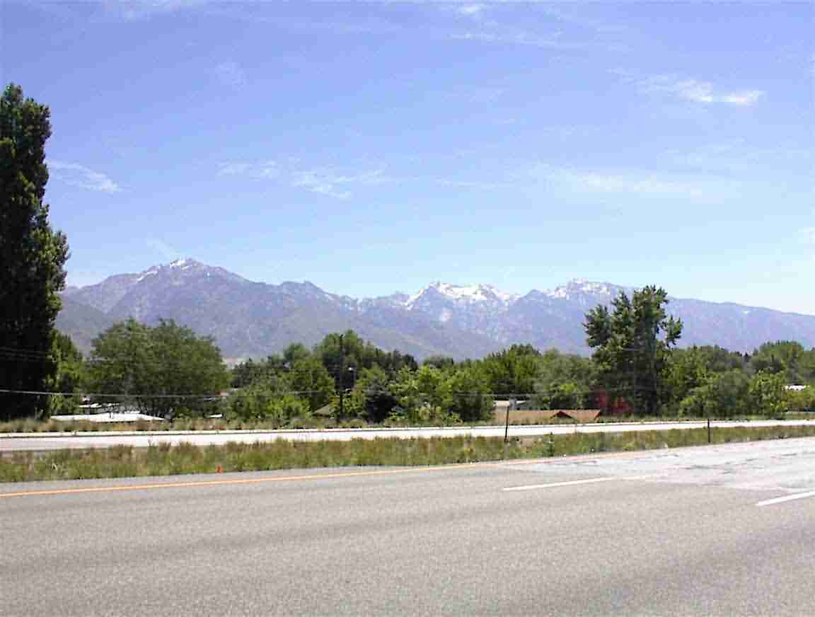
As I headed south, the mountains approached. Unlike other places I’ve been, there is a plain where the city is located and then suddenly mountains. No foothills. You can see this below.
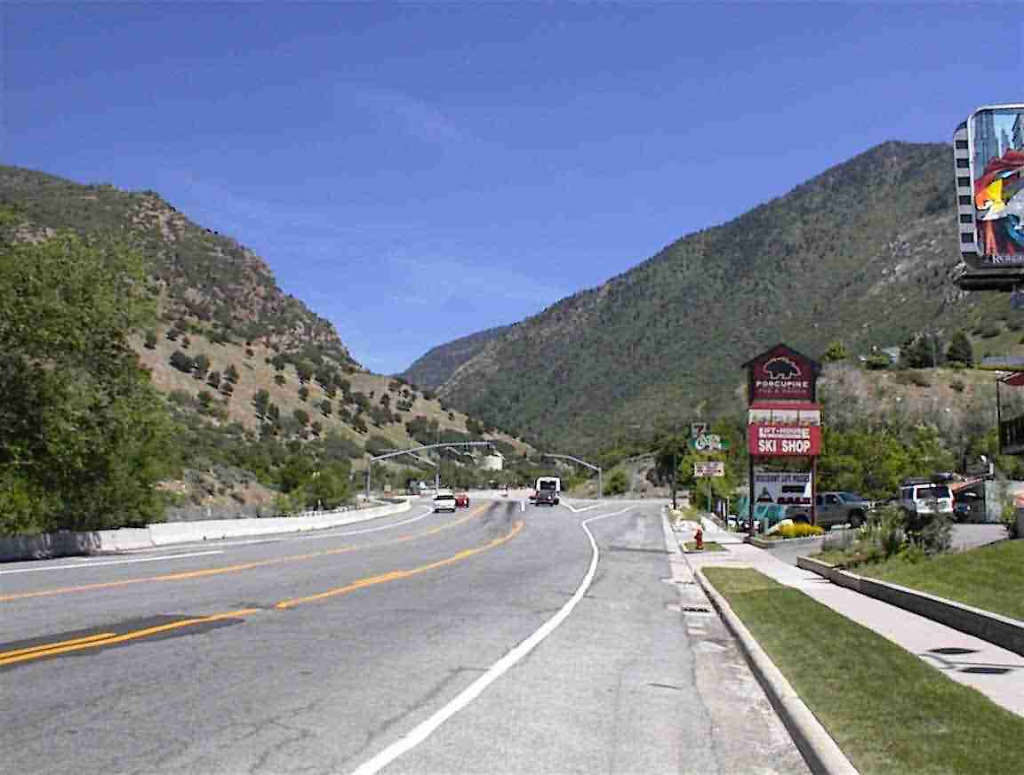
I was going to take ‘Big Cottonwood Canyon’ over the mountain. This decision was based on the fact that the northern route was a motorway, so no bikes, and the other option was further south. I suddenly came upon the canyon entrance and it did not look auspicious.
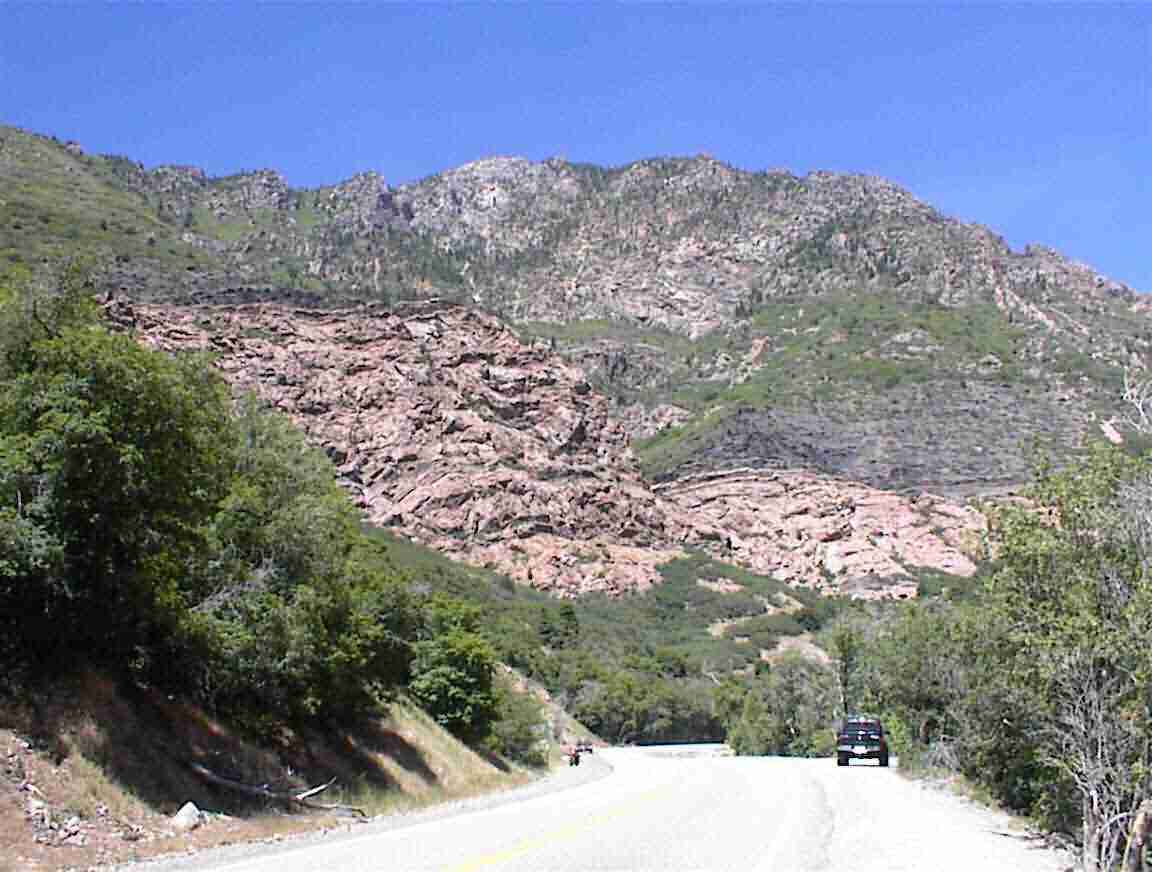
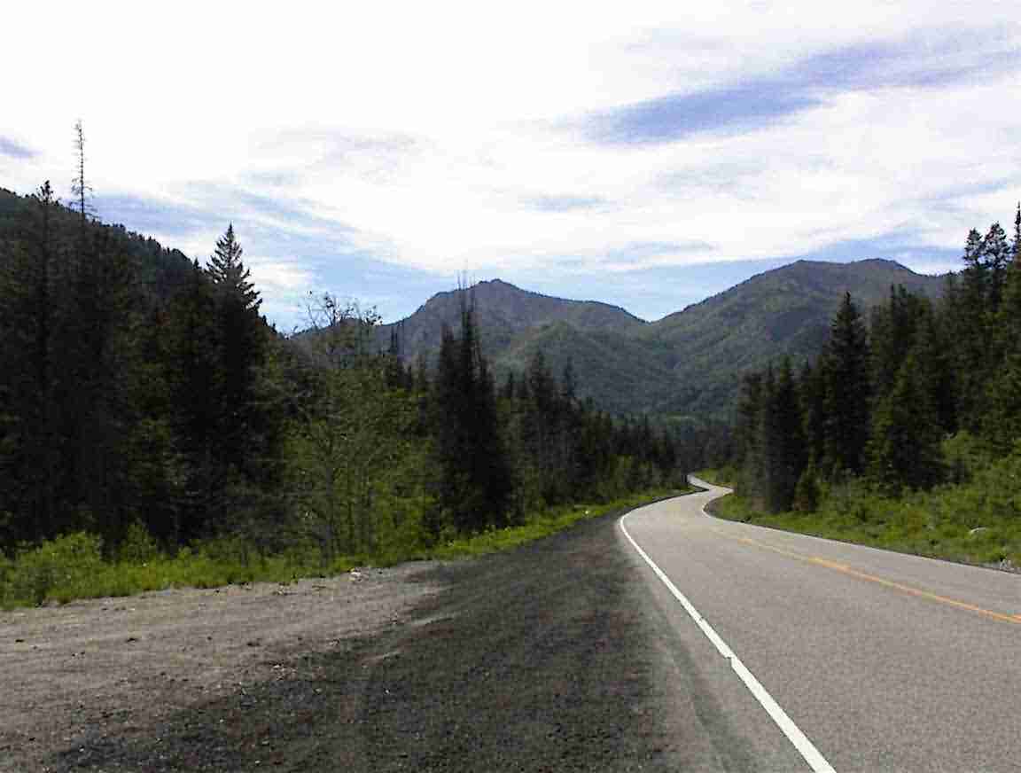
As I cycled up the canyon there were massive rocks going up high above me. The road was very steep in places, over 10% grades. These two photos give an idea of what it was like.
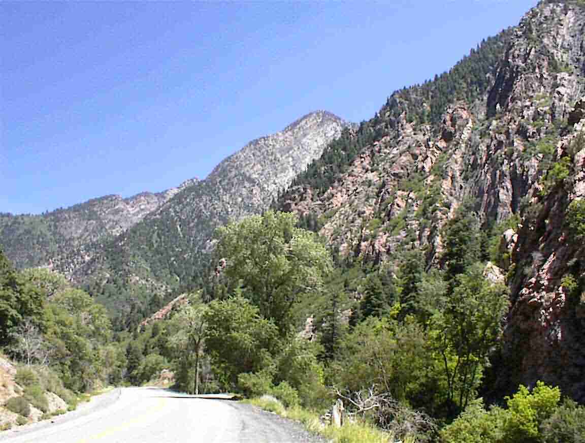
How do I describe the day? Three words come to mind, up/up/up. The road seemed to go up forever and it was only at a rest stop when I was told that the pass was at about 10,000’ that I realised just how far I was going up; over 5000’ from Salt Lake City! Now that may not sound like much, but given the distance covered it works out at an average grade of over 5% which took me 5 hours to climb. That’s a hard day. Fortunately, there were some flattish sections like below, but the road still went upwards.
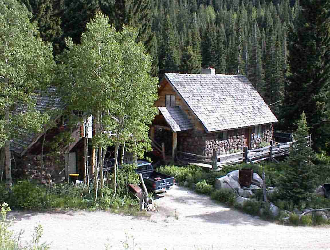
What surprised me was the number of expensive houses along the road. These were holiday cottages or ski chalets yet few were occupied. Many of them were grand edifices while others were attractive moderate sized houses such as that below. I liked the rock facings that many had; along with the log cabin styles of others.
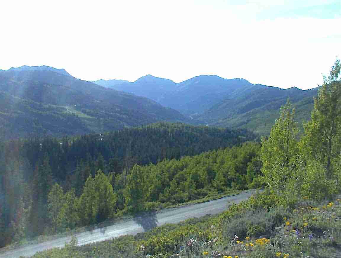
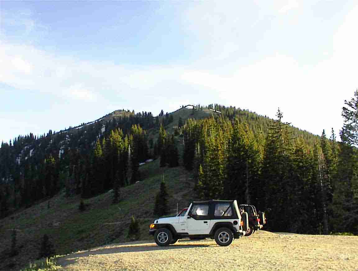
I was heading way up into the mountains. The road seemed to end in a circle of mountains with ski-fields nearby. As I approached the top I saw another road going up to the left and that was the one which went over the pass. As I huffed and puffed my way up, it was over 8000’ now, I came across a number of parked cars. A popular pass time is to have two riders and two cars. Leaving one car at the bottom they go to the top and then hoon downhill, driving to the top with the car at the bottom to collect the one at the top. Sure beats doing it my way! It is a long way down as the following photo shows.
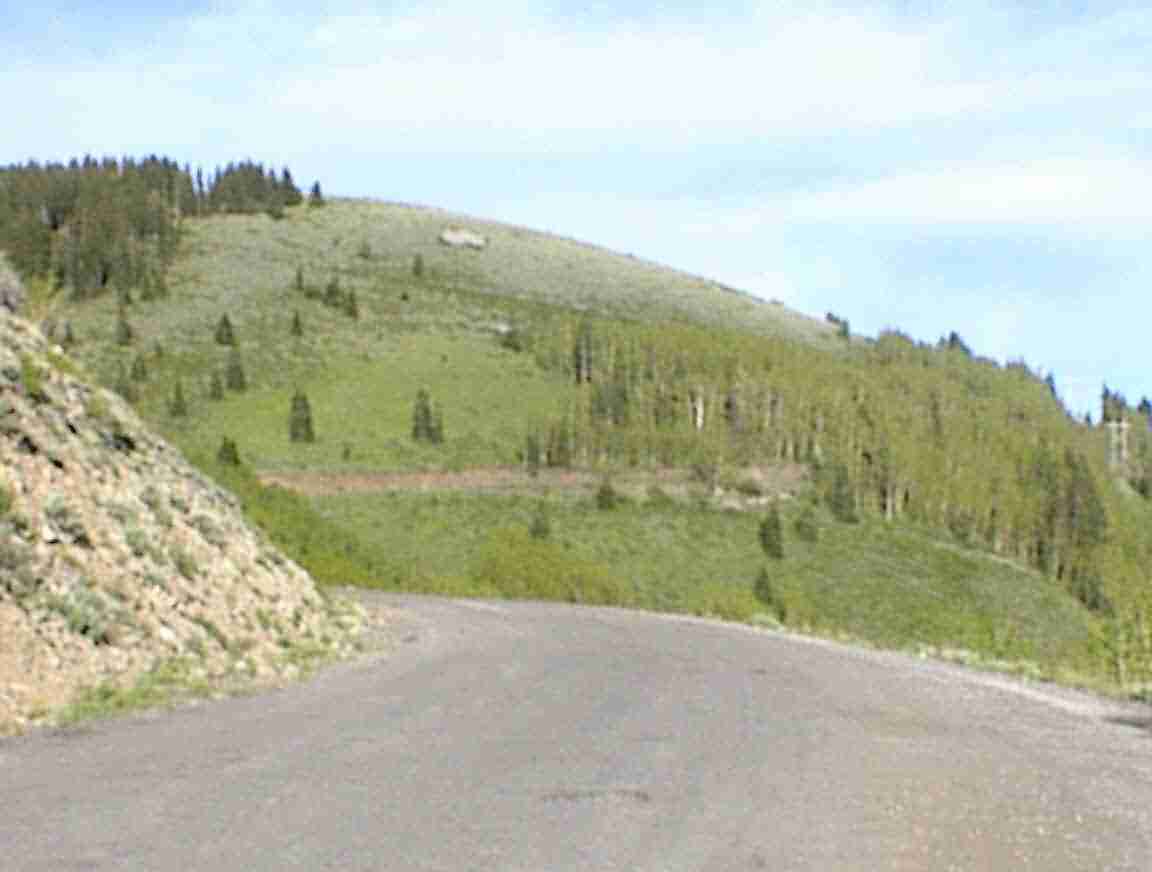
The paved road ended and it was very hard cycling. I then had the misfortune to throw my chain so I had to pull it out from behind the freewheel and reattach it. Not a big deal, except I wasn’t in the mood for this nor the greasy hands. The road seemed to stretch on forever and it was still fairly steep as you can see from this photo.
Anyway, all you can do is keep on going at the lightening pace of 5 km/h knowing that eventually it will end. And end it did. I ascended to a parking area and this is what was spread out below me … I was at the summit.
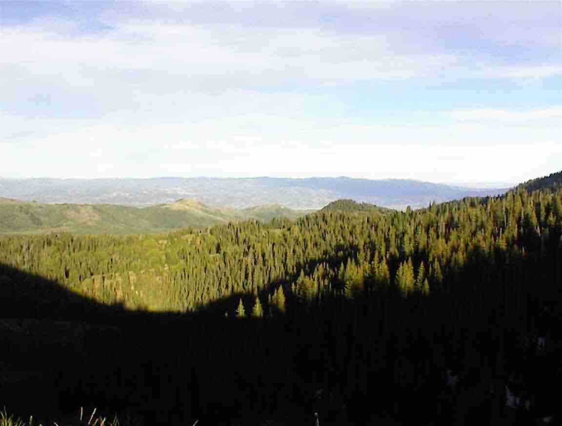
How high was it? Well, as you can see from the photo below I was basically near the top of the mountain that was about 10,500’ so it was quite high. And I was exhausted after only about 50 km, but what a 50 km it was.
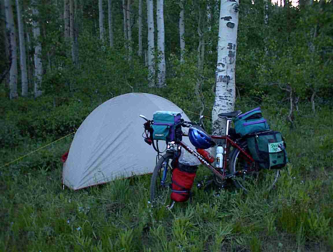
Win the past it was great having the downhill run but not here. The road was unsealed and very rough with large stones. I bounced my way down more than riding. I got a puncture of my front tyre which was OK since it gave me an excuse to call it a day. I went off the road and camped in a nice field amongst birch trees. Lots of mosquitoes but otherwise an ideal place. And so ended a rather hard day! I snuggled down in my sleeping bag wearing my polartec trousers and jacket since it was quite cold. I was still over 8000' and so the altitude got to me and I didn't sleep as well as I should have. Still, I was over the first of the Rockies.
loans loans loans loans loans loans loans loans loans loans loans loans loans loans loans loans loans loans loans loans loans loans loans loans loans loans loans loans loans loans loans loans loansloans loans loans loans loans loans loans insurance insurance mortgage mortgage