18 June - Day 20: Vernal UT to Craig CO - 207.3 km @ 22.7 km/h
The day started off fine, with a sunny sky and no wind. I had a long ride ahead of me so it was an auspicious start. I needed to do my laundry and since they didn’t open until 8 a.m. I knew it wouldn’t be an early start. I used the opportunity to repack my bags, shifting the load between some of the panniers. I was also able to wash off some of the encased mud I picked up in Salt Lake City.
Once again I marvelled at the size of the washing machine and my meagre offering. While the laundry was on I saw on TV the weather forecast: not good. There was a storm blowing in from the NW. I was fascinated to see that they have a channel dedicated entirely to weather. The ‘Weather Channel’ gave a very detailed description of what was happening and what I should expect in the next few days. Most useful but definitely only appropriate in a huge country like the USA.
I chatted with the owner of the KOA campground. He was an ex-computer boffin who parachuted out of corporate America. He told how he worked for Sperry which was then taken over by Burroughs and then Lockheed Defence and then … He claimed that he worked for 10 companies without ever changing desks! He reflected that all that seemed to happen was that with each take over all that seemed to happened was that their retirement funds were depleted. In the end he decided that the stress and pressures weren’t worth it and he took early retirement and hasn’t regretted it. I could relate.
I was finally on my way after 9 and stopped by a shop which I had been told had a good selection of fruits. Yum. I also managed to get a couple of tins of vegetarian ‘meat’ and went to a second shop and got a few more items before heading further into town for breakfast. A restaurant advertised ‘the best breakfast in Vernal’ so I wanted to try them out. Unfortunately, they were closed so I continued out of town and had some of my fruit by the side of the road.
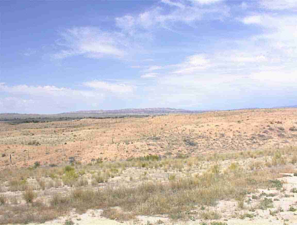
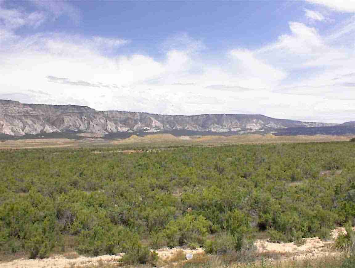
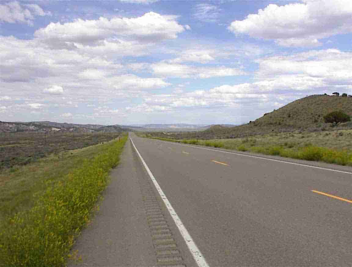
I cycled east on Highway 40 past ‘Dinosaur National Monument’. This is a national park where they have the dinosaur fossils. The place is desert as you can see from the two photos below. There are not many towns and they are all about 30 miles apart – which corresponds to a day’s ride on horseback.
I came to the town of Jensen which was founded by some Danes. There was a historical marker which described how they ran a ferry across the river for about 40 years. It described how the busiest day was in 1909 when they made 86 trips – ferrying Ute Indians who were fleeing towards the Dakotas. Sad. When I saw the country’s condition many would probably have died during the trip.
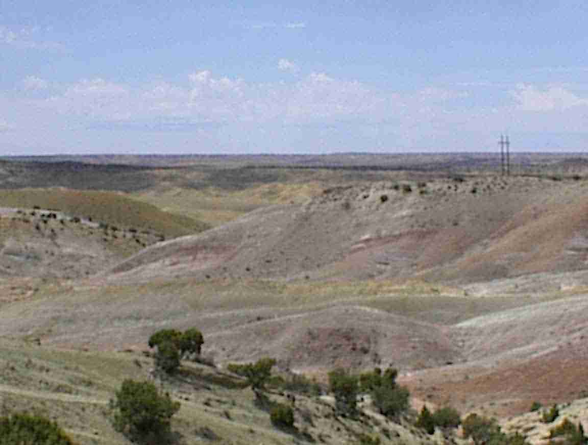
There were some lovely coloured gullies that I passed. As I approached them I scared a herd of 5 deer who ran off. Later on I saw them descending into the gully. I wondered where they found water in such a harsh environment.
Instead of calling this road Highway 40 it should really be called ‘Dead Deer Drive’. Every 5-10 km there would be a dead deer by the side of the road in varying degrees of decay. Sometimes there would be the white, bleached bones; other times it was so fresh that there was a strong smell of death. They are such a beautiful animal it is such a waste.
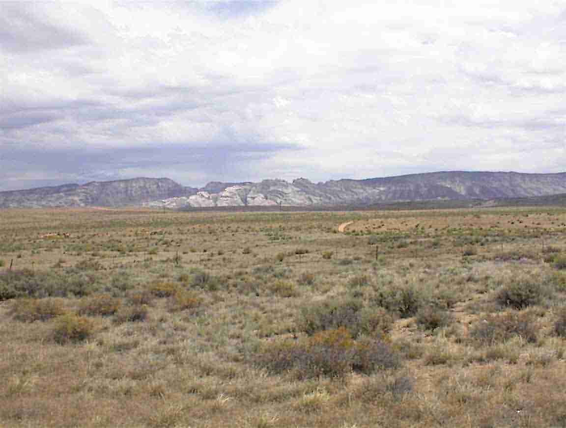
As I approached the eastern border of Utah there was this beautiful mountain range on my left. The photos below show them. There was a historical marker which I stopped at to read the plaque. It described a visit to the area by Spaniards in 1776. For those historically challenged, that is when the 13 colonies on the Atlantic coast were trying to form themselves into a country. They came north from New Mexico trying to find a route to their colonies in California. They went through the desert and ended up near Provo Utah before deciding to head back again as it was too late in the year to make California. Probably a good decision. They called this area ‘Musket Shot’ since they found two pools of sweet drinking water a musket shot distance apart. How did they find them? They were following a ‘well worn’ Indian trail! It is a pity that the Indians haven’t been given more credit for their explorations.
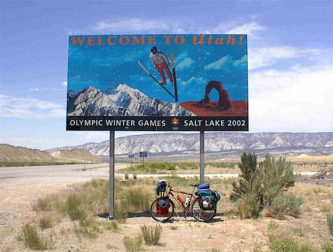
As I left Utah I got the following photo under the sign. There was no welcome sign to Utah when I entered so this had to suffice. My lasting memory of Utah will be the winds and these had a final farewell for me; a gust blew my bike over just after this photo was taken!
In one sense it was auspicious. I had a very mild headwind most of the way but it now turned into a tailwind. So I entered Colorado with a tailwind.
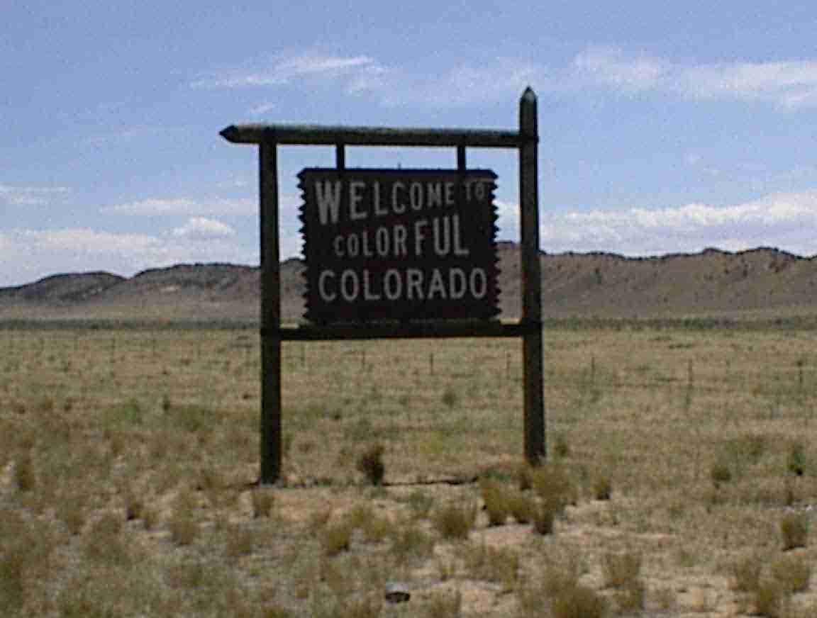
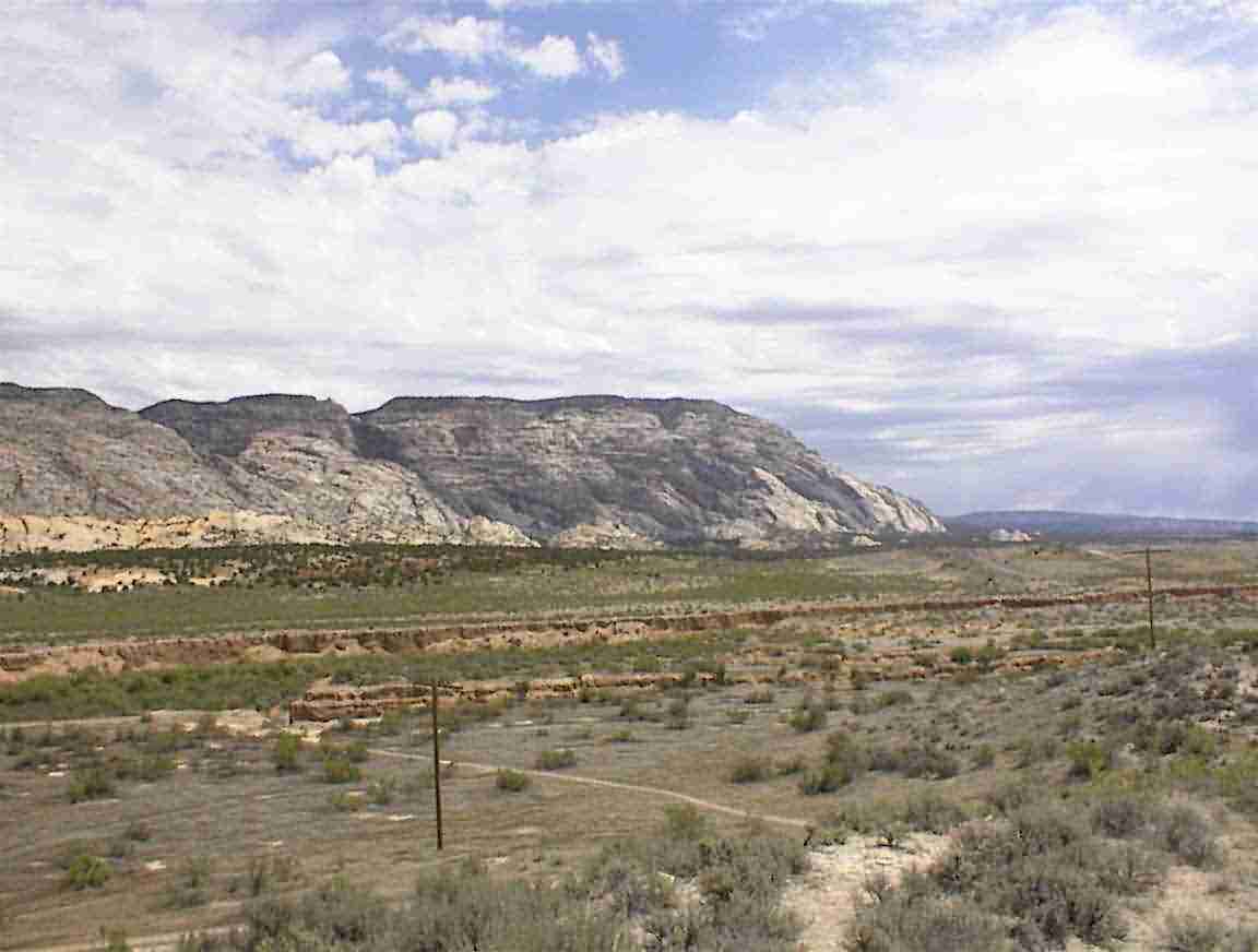
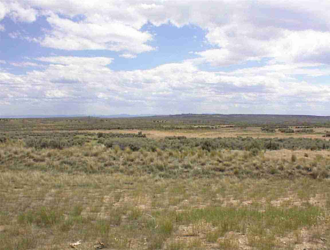
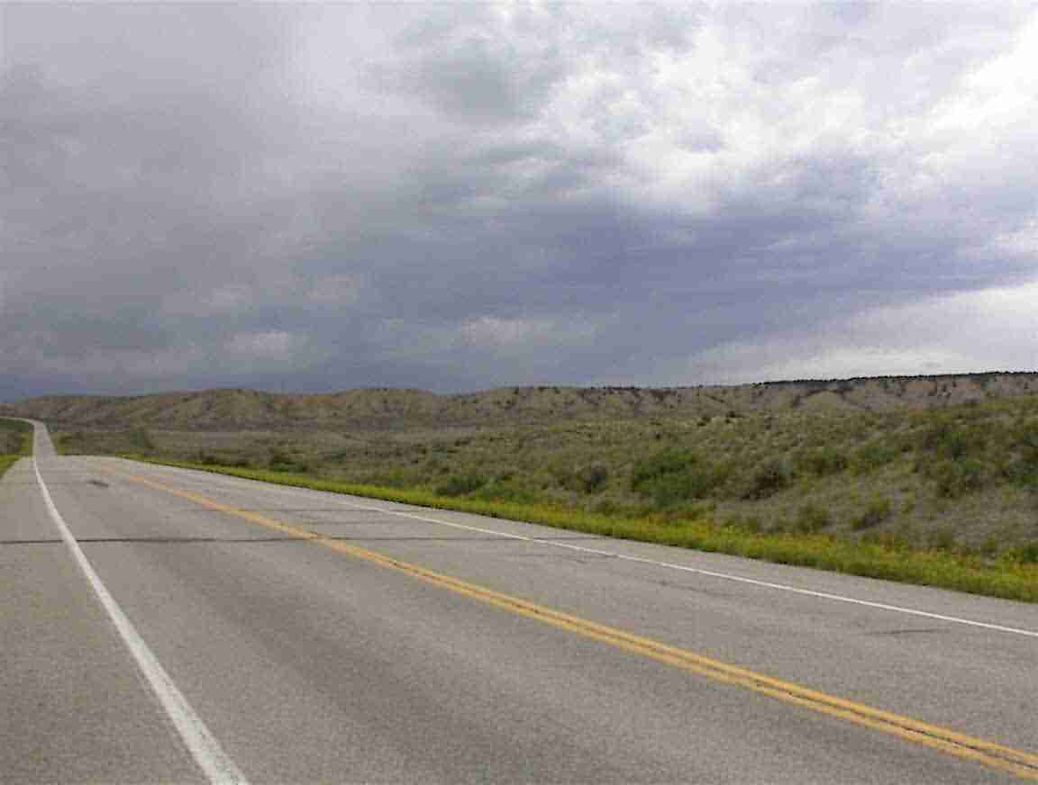
"Colorful Colorado". Yeah. Right. Only if you consider the desert to be colourful. Don’t get me wrong, the desert is beautiful but western Colorado is pretty bleak. This is illustrated in the following two photos. It was so dry and the road went on forever.
I stopped at the Visitor’s Centre in Dinosaur Co. which was about 15 km from the State Line. It was very well appointed with friendly and helpful staff. I asked for advice on the road to take but they were unable to give me any detailed comments. I had lunch on the picnic table and read a sports paper on climbing in Yosemite. Wow. Talk about brave (crazy) people. After a check in call with my parents – my mum must be tired as she isn’t sleeping with worry – I headed east.
I cycled east and the wind was picking up. This was a storm was catching up with me. As you can see from the photo below, the skies were dark and foreboding and I used the tail wind to keep up my speed. Unless you have done a lot of cycling you really can’t appreciate the difference it makes having a head or tail wind. In this instance it was gusting to extreme levels and made a big difference.
Eventually I decided to put on my rain gear since I was certain that I wouldn’t escape from the rain. I was quite pleased that I did since I went through a cutting and experience the unusual effect of being sand blasted. Let me explain. There were sand dunes on the sides of the cutting and the strong winds were picking up the sand and blowing it along the road. There were sheets of sand shooting along at great speed due to Bernoulli’s principle: A1 x V1 = A2 x V2. If the area that the wind is passing through is halved the speed doubles. Quite amazing. I contemplated taking a photo but decided against it since my camera was working (for now) and I didn’t want to risk getting sand in it which may cause damage.
I came to a long straight road and helped by the tail wind I hit 87 km/h on the downhill section. The road was excellent and dry but when I saw it was going to change into a broken pavement I backed off. These downhill runs were appreciated since I was in the foothills of the mountains so it was a lot of up and down … or should I say more up than down (at least that is how it seems). The hills went on forever but that is to be expected since I’m now in the Rockies.
My goal was to make it to Maybell and I reached there about 19:00 after travelling 150 km. There was a gas station which was also the local shop. I had some chocolate to recharge my energy and chatted with the woman proprietor. It was interesting to see the range of goods available in these small country shops and how they cater with something for everyone. She said that a Japanese passed through on his bike a month ago cycling around the world! From his broken English it seemed he estimated 11 months. Wow.
I was told that the road on to Craig was more up and down and that it was about 55 km. Even though it was late in the day I decided to go for it. My reasoning was that when one has a tail wind one makes the most of it! I also felt good even though I had cycled over 150 km. So onwards I went along the valley.
There were a number of rivers in the area and the valley was full of farms. As I travelled on there were a lot of animals. Unusually, I saw one farm which had mixed cattle, sheep, goats, horses and llamas in one area.
There must be some good white water rafting in the area as most of the traffic about 20:00 were vehicles towing rafts. Not that there was much traffic! That is one of the nice aspects to taking these secondary roads, once one is away from towns there is hardly any traffic.
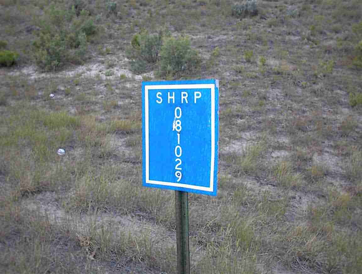
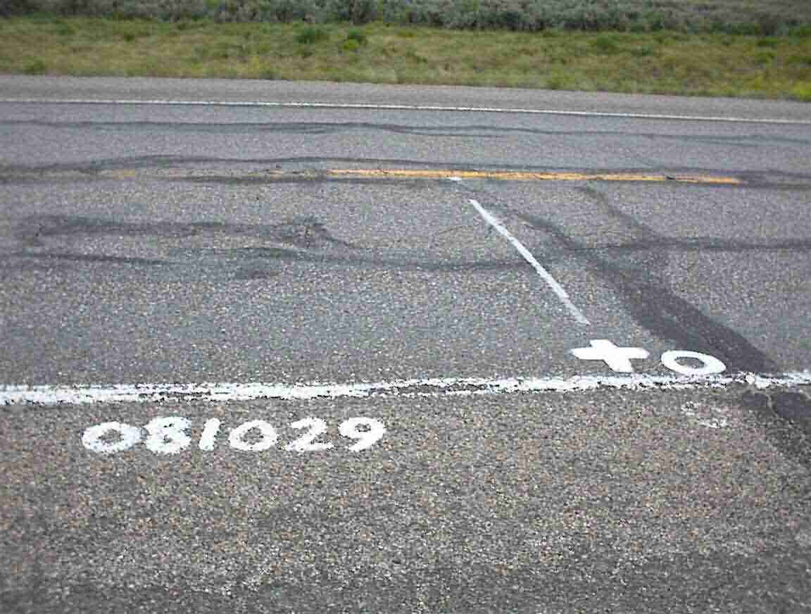
The road wasn’t in the best condition and I saw the following sign and pavement markings. SHRP is the US ‘Strategic Highway Research Program’ which has test sites around the country monitoring the rate of pavement deterioration over time and under traffic. OK. It interests traffic and highway engineers. I also came across a piezo weigh-in-motion site.
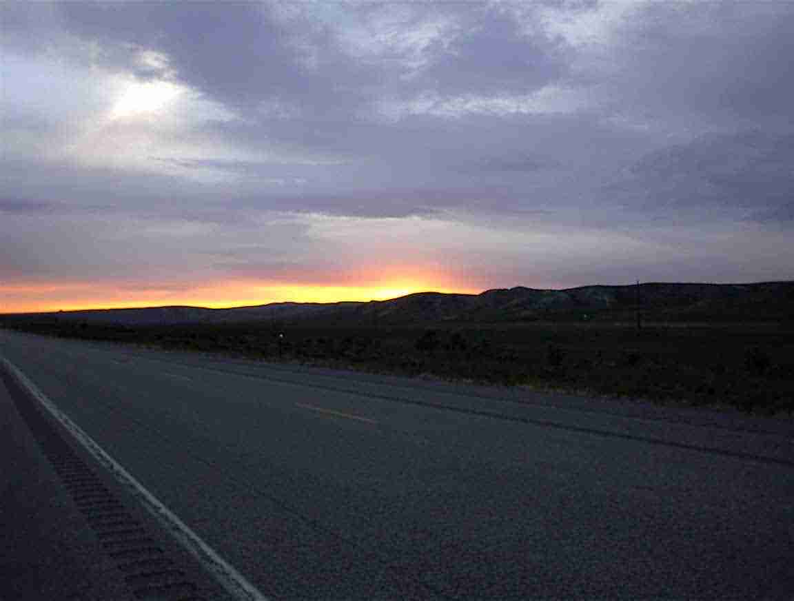
Eventually, the sun was going down and we had a lovely sunset. Unfortunately, my camera doesn’t do it justice. From there is was about 20 km in the dark which was OK, except when these $#^$#* oncoming drivers would not dip their beams.
I made it to Craig at about 21:40 and cycled into town and had a submarine sandwich. Having travelled 207 km I was very hungry. I treated myself to a motel room to have a hot bath and a comfortable bed. The proprietor was Polish and she was most impressed with my cycle tour. She said just last week someone came and stayed who was walking across the USA and she showed me the newspaper article. The fellow is 62 and is walking 25 miles per day with his son. His wife drives a van and provides regular water. She said that she was most impressed with him and I in that we are following our dreams. When she was a child her dream was to learn English and to ride a horse. She has done the first and last year tried skiing as an alternative to the horse. I said she should go ride a horse! We should always try and fill our dreams.
So ended the day … my record distance at 207 km was quite a feat and I felt pretty good in spite of it. The next few days will be extra hard as I cross the Continental Divide, but I'm ready for it!
loans loans loans loans loans loans loans loans loans loans loans loans loans loans loans loans loans loans loans loans loans loans loans loans loans loans loans loans loans loans loans loans loansloans loans loans loans loans loans loans insurance insurance mortgage mortgage