6 June - Day 8: White Wolf CA to Lee Vining CA - 74.4 km @ 14.1 km/h
Woke up at 5:30 and was it ever cold! I put on my polypropryl top under my polartec jacket and snuggled down into my sleeping bag. Wearing my long cycling gloves I was at least not cold any longer. I fished out my short wave radio and picket up National Public Radio which is the US version of National Radio. A nice way to pass the time until the sun warmed things up.
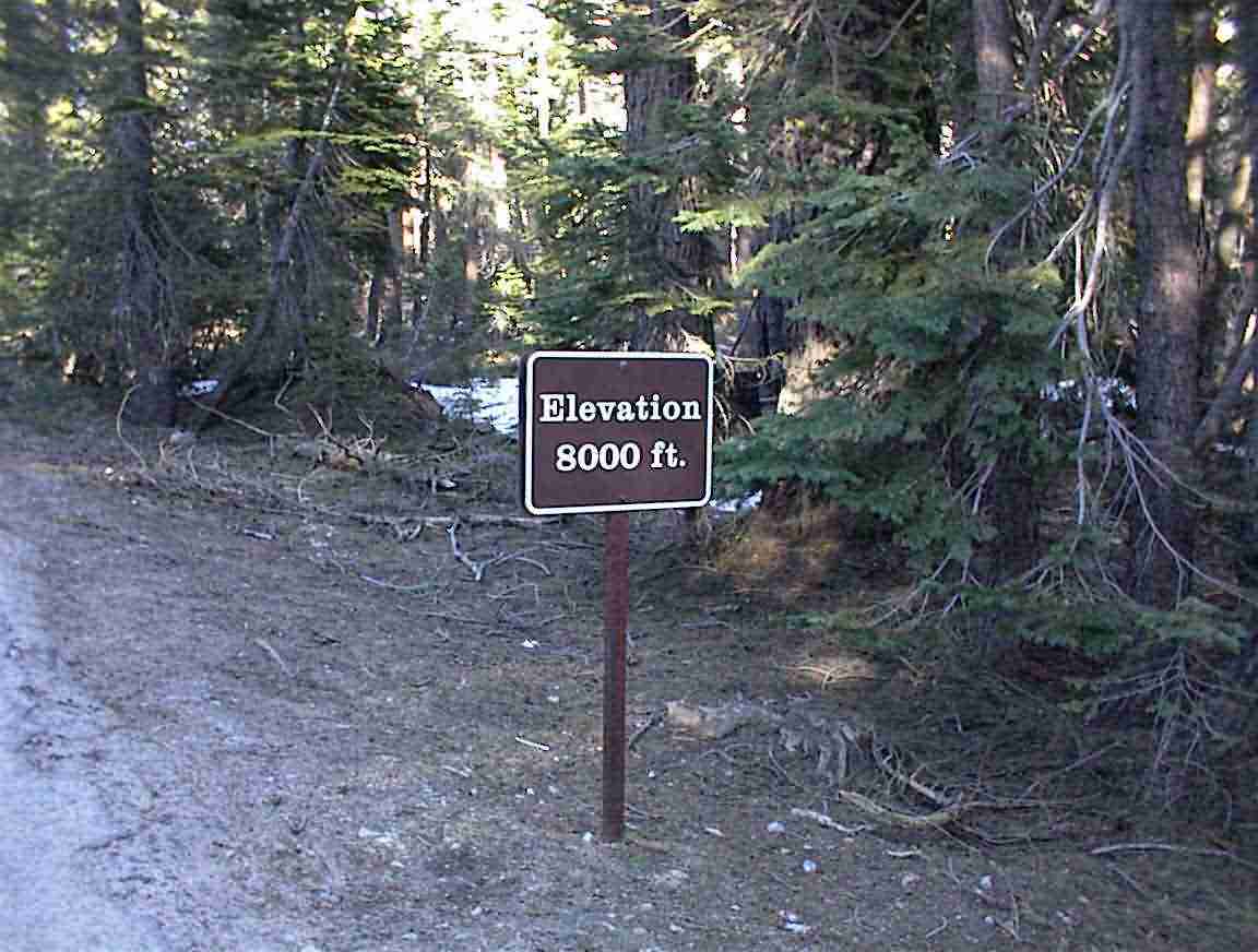
I eventaully emerged about 07:00 but it wasn't much above 0. Not nice for a tropically blooded fellow like me! I went and wrote my name in the snow. I still have problems dotting the i :-). Had a breakfast with very cold water and at 08:00 was on my way. Uphill of course. Just to show you why it was cold, this sign was just before the camp site.
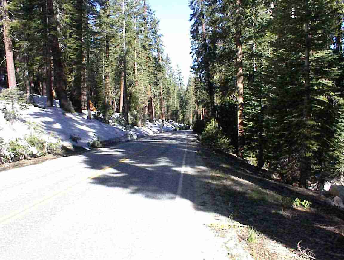
There was no traffic and it was very cold cycling, in spite of all the layers. The photo below shows the road-complete with snow on the left. It was lovely with all the trees and they cast long shadows over the road, and also kept the temperature down.
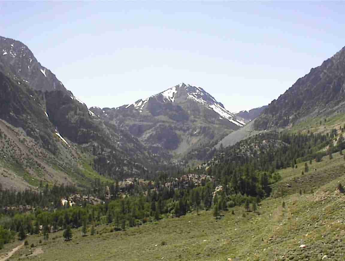
At these elevations I was surrounded by mountains. As shown below, the trees end and there are these granite monoliths which tower above you. At least until you cycle up to the top!
It proved to be 13 km to Porcupine Flat and there is absolutely no way that I would have made it there last night. It was a good move stopping and camping out. Particularly since I didn’t become bear food!
The altitude was having its effect on me and I took frequent stops. As the day progressed the traffic increased, but thankfully there were few trucks. It seems as though 4WD vehicles are de rigeur in this part of the world. A number were loaded with kyaks with mountain bikes on the back which made me think of Lis. We’ve really taken to sea kyaking and if you haven’t tried it, you must. It’s magic.
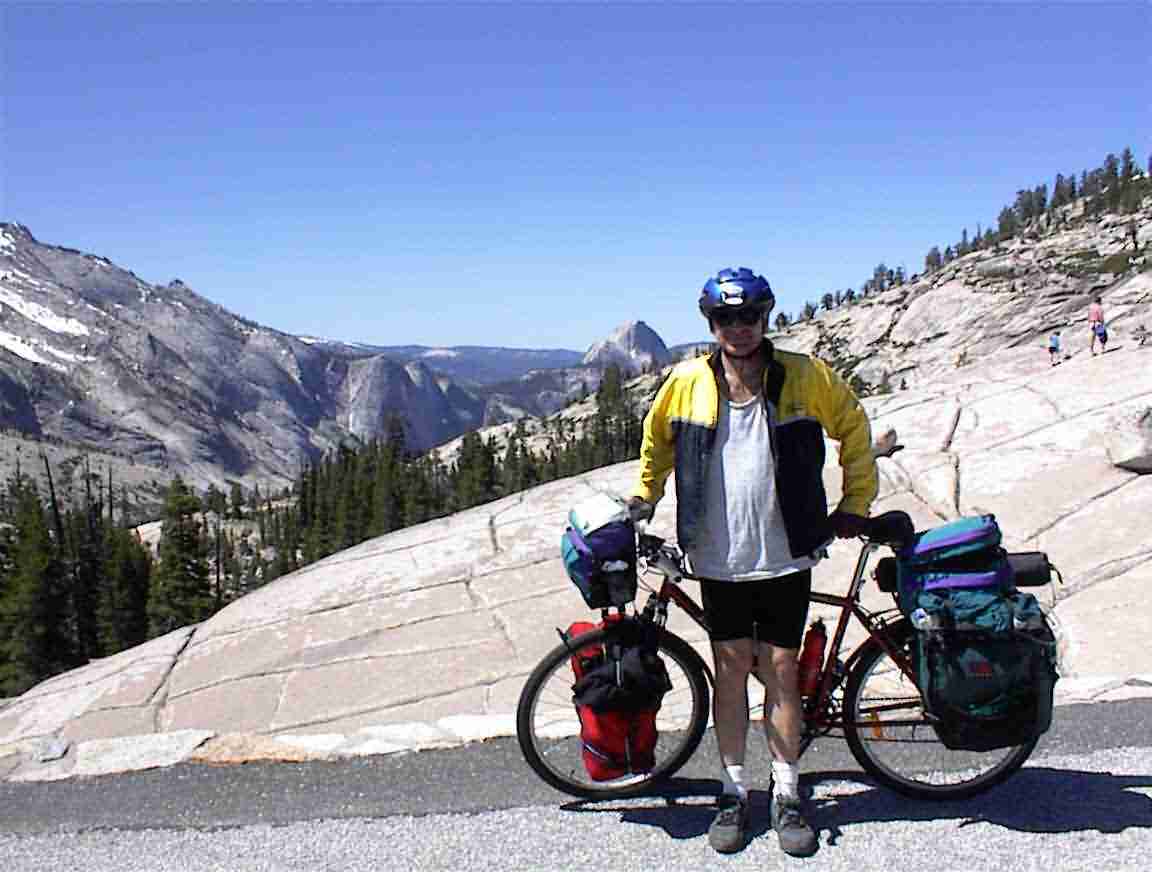
The views went on forever. This is me at one of the lookouts. The picture is disappointing. I asked someone with an impressive camera to take it. Trust me when I say that the valley behind me is incredible.
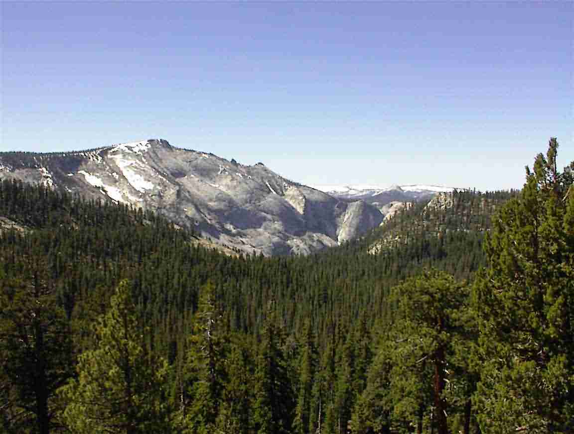
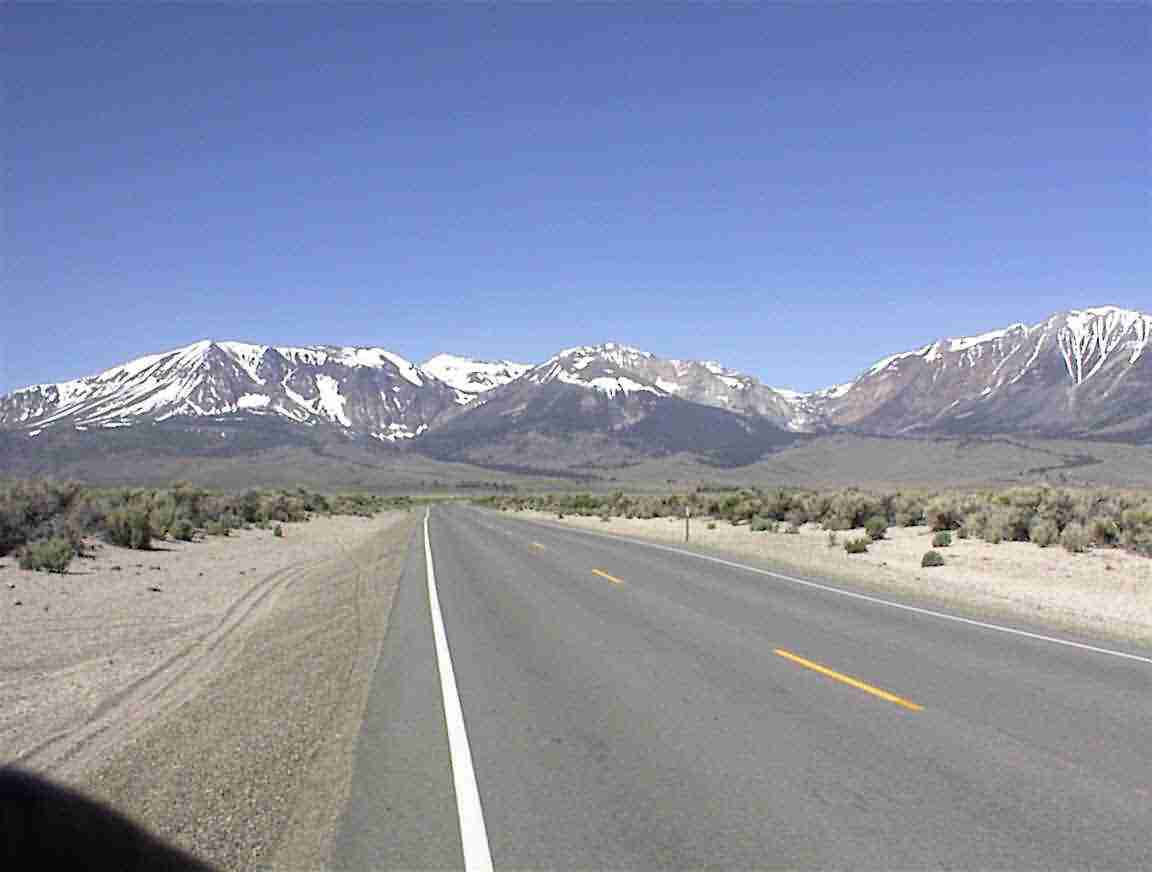
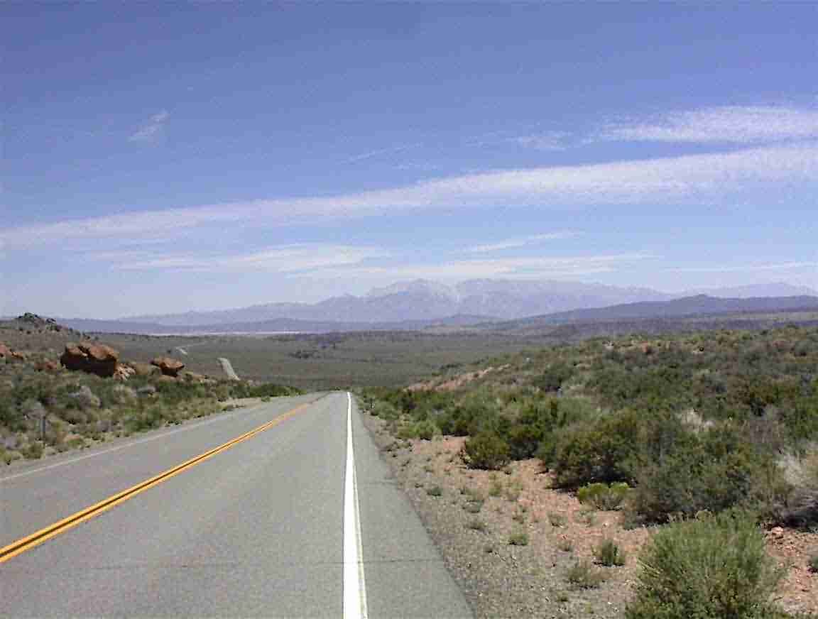
The road continued on towards the mountains. It was glorious cycling and from the lookout things levelled out. I cycled at around 8000- 8500’ up and down, but after what I had been through it was flat.
Eventually I reached Tuolume Meadow. This is the largest meadow in the Sierra and is at an elevation of about 8600’. It has its own unique ecosystem and is quite fragile. I visited the information centre and they kindly let me download my photos to my computer. There were some brilliant posters of the area but they wouldn’t survive on my bike. Ho hum. Will have to buy them next time.
I had lunch at the ‘Grill’ which was a vegetarian hamburger. Yum. First hot food since I left the Muirs. It was very sunny and I enjoyed eating on a bench and watching the tourists. There was a very obese couple from Arkansas who literally waddled by. Very sad. In fact, except for a couple of youngish hikers everyone could have stood to lose 20 – 100 kg. Later on a couple that I saw eating a large lunch emerged from a car, all drinking cans of Coke. They were in the 100 kg category … not too much of a surprise I guess. Still sad.
They refilled my water bottles in the Grill and one of the women came out and checked out my bike. It’s pretty heavy (particularly with 8 L of water) and she was impressed that I had come this far with it. She advised that the ride ahead wasn’t bad and the grade was very bearable. Since she was also a cyclist I took her at her word – and she was right.
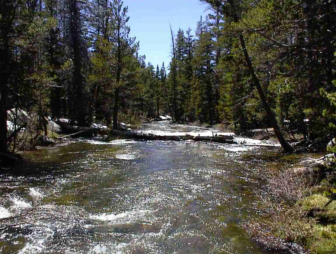
I cycled out the valley and there was a mountain stream next to me. It was glorious. I stopped and marvelled in the beauty of God’s nature. This is what the stream looked like.
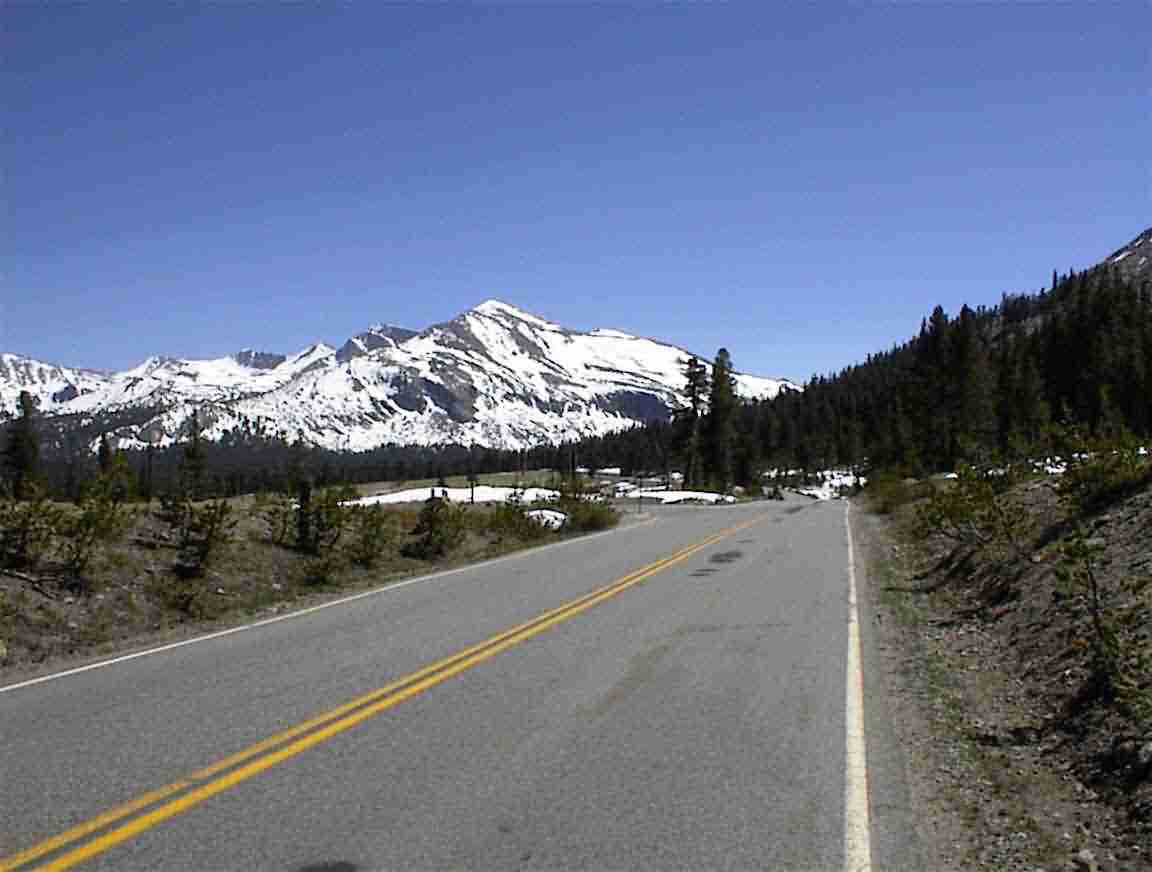
I cycled upwards and upwards towards the Tioga pass. Rising above the treeline, I was in the mountains. No, I was almost above them. You can see the road stretching back down towards the low land.
This is it! I have reached the top of the Sierra. Tioga Pass. Elevation 9945’. Pity it wasn’t 10000’, but it’s close enough. The guard at the park exit too the photo and told me it was 20 km of downhill. I was sorry to leave the park, but glad that the mountains were behind me.
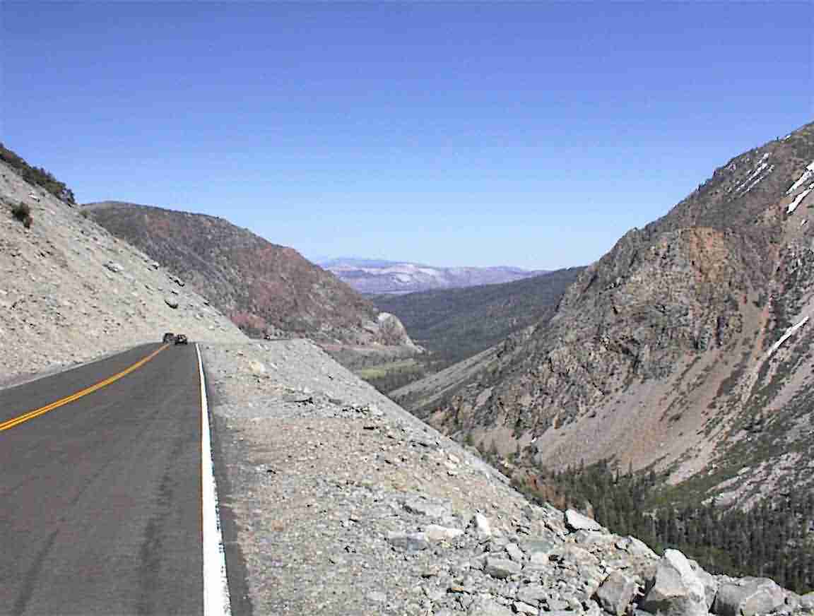
As I headed down the mountain there was a lovely lake on the right and then it was an 8% grade – down for a change! It was an amazing ride. There was no traffic and so I was able to drive in the centre of the lane. Good thing too. I hit 78 km/h before I chickened out and slowed down. It was difficult to keep it below 60 km/h. Wheeeeee! You can see here what the road was like.
From the bottom I looked back up to the mountains. Goodbye to the Sierra and hello to the desert. I went to Lee Vining and checked into a hotel room. Time for e-mail and publishing my web site.