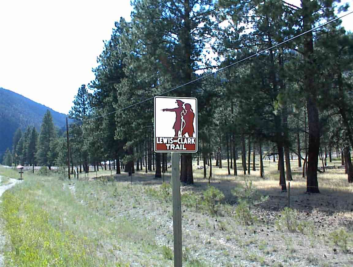
Cycling the Lewis & Clark Trail
In 1803 the explorers Lewis and Clark led an expedition called 'the Corps of Discovery' to explore the north-west portion of what is now the USA. The broad objective of the expedition was to consolidate American power in a region which was the domain of indians and Canadian trappers, as well as collecting scientific data. After overcoming innumerable hazards--from starvation to hostile indians--they reached the Pacific and eventually made their way back to 'civilisation'.
Although this was not the first crossing of the continent, that happened some 10 years earlier when Alexander Mackenzie crossed Canada, this was a seminal event in American history. At the time it was equivalent to our exploring distant planets; most of the US map was an empty page and their findings put paid to many fanciful ideas, and hopes. Within a few years they were followed by trappers and settlers, and the life of the indians they encounted soon vanished.
In 2002 when Sean and I mountain biked the Rocky Mountains we crossed the trail of Lewis & Clark several times as I did during my Trans-American trip in 2000.. (all my journals are at www.lpcb.org). With a a couple of weeks up my sleeve I decided to celebrate the bi-centennial of the original journey by cycling part of the Lewis & Clark trail. I chose my start point as Great Falls, Montana which is where there was a major portage for the original expedition. Armed with maps from the Adventure Cycling Association, I followed their route across the Bitterroot mountains in Montana to Idaho where I took the Lolo trail into Idaho. From there it as along the Clearwater river in Idaho to Washington, eventually joining the Columbia River to the Pacific. From Astoria I headed north to Seattle.
For those 'purists' I followed parts of their westward route and part of their eastward route. I had time limits. I used the excellent maps from the Adventure Cycling Organisation in Missoula. For anyone cycle touring in the USA I recommend checking out their routes. The level of detail makes it a lot easier to plan; it's not much fun to keep on cycling and find nowhere to stay at the end of the day, this doesn't usually happen when using their maps.
Unlike my previous trips I didn't write a journal at the time and upload it to the web; I'm getting idle in my old age. It was written a month later from my maps and photos while working in the thriving metropolis of Gandhinagar India. I was also quite self-indulgent by not camping. Like all my other trips in the USA it was a fantastic journey and I met many wonderful people. A great holiday in a great country.
Comments or questions to:
![]()
Day 13 - Astoria North ...
Day 14 - to Seattle
loans loans loans loans loans loans loans loans loans loans loans loans loans loans loans loans loans loans loans loans loans loans loans loans loans loans loans loans loans loans loans loans loansloans loans loans loans loans loans loans insurance insurance mortgage mortgage