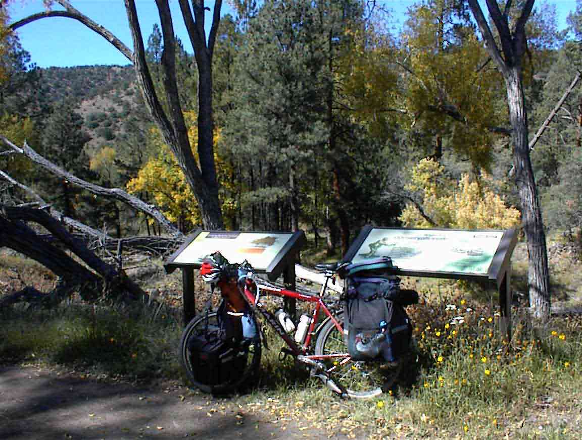
Day 49: Beaverhead Work Center to Mimbres - 52 miles
I tried listening to my radio since it was too cold to go outside, however, the tuning was not working correctly. This necessitated some surgery so I got out my trusty swiss army knife and cleared a space on the tent floor. The cutting blade point was small enough to fit into the phillips screws so I was able to disassemble the unit without any problems. I found that a screw had come loose from a pinion gear so I guessed at the correct alignment of the gear and reassembled the gear. After refitting the tuning belt I put the unit together again and it worked fine. Let's hear it for swiss army knives, particularly ones with tweezers (good for positioning tiny screws) and toothpicks (good for aligning small objects). Glad I went for those options instead of the bottle opener.
Since it was so cold outside I had a very slow start to the morning. I had breakfast sitting in the sun listening to the BBC World Service. When one is in the wilderness the problems of the world like Iraq, Kashmir, Northern Ireland, are so difficult to make relevant. Surrounded by God's nature with not a worry in the world it is such a wonderful place to be.
The driver of the moving van came by with a woman who was the one that had just moved down here. She was searching in vain for someone so she could do some photocopying. When the driver heard I had cycled 2100+ miles along the continental divide he was duly impressed and asked (seriously!) if I was trying for the Guiness Book of Records. He was quite overweight so this much excercise was obviously well beyond his ability to comprehend. Compared to some cycle trips this is trivial, although it sure isn't easy.
I asked them if they had heard the Elk during the night. They were quite loud with their buguling and I had also heard some coyotes. The woman said that they brought with them a Golden Retriever who, as a city dog, had never heard such a sound. All it knew was there was some very large animal around and it ran over and jumped into the lap of her husband who was on the sofa. Must be quite a shock to the system after Washington D.C. to be in the bush.
I was on the road by 9:30 and headed south. The guidebook had indicated that the day would be one of lots of steep climbs and they were not exaggerating. The road was also difficult to cycle due to corrugations and loose surface material so I knew I was in for a hard day.
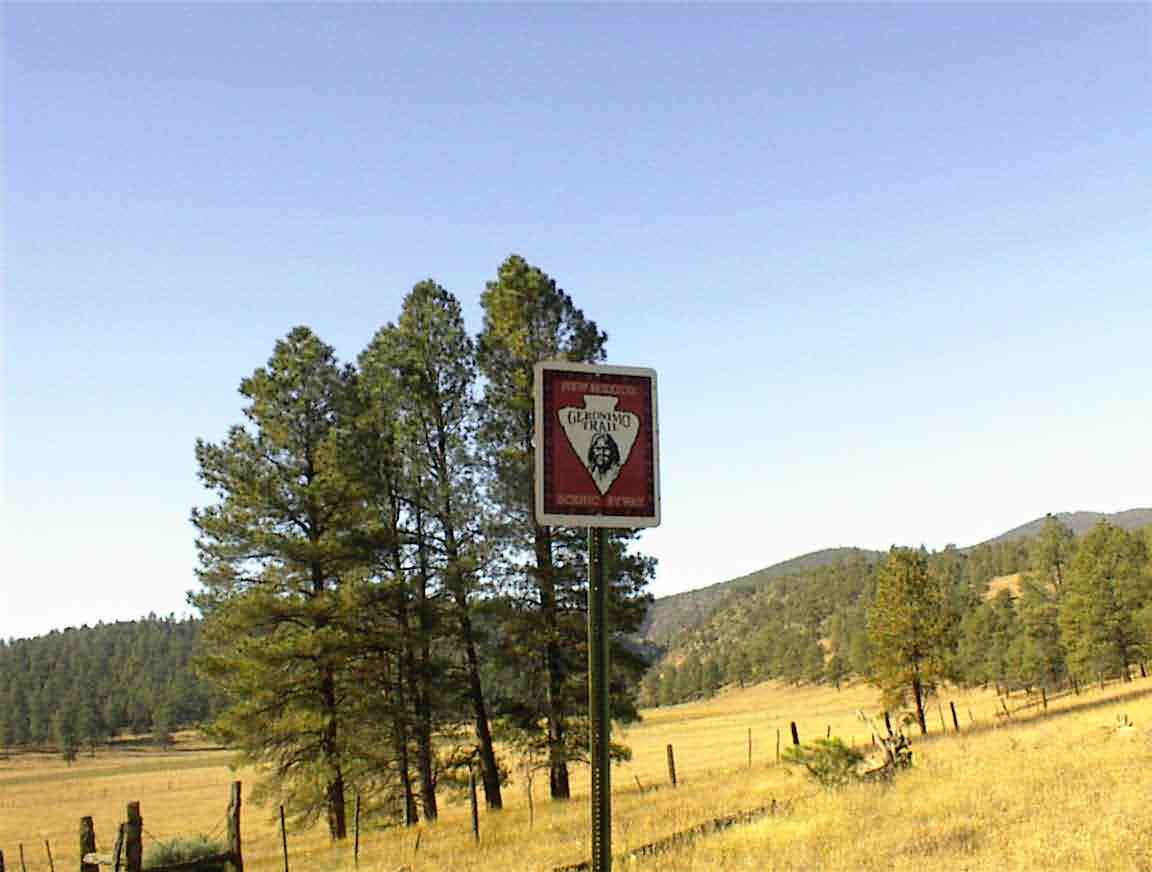
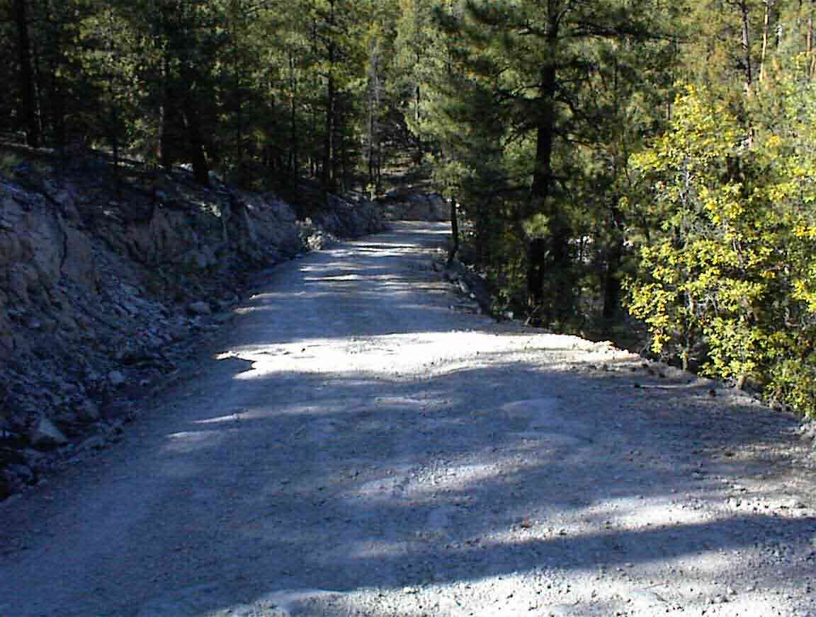
Just after I left I encountered the sign below indicating that I was on the 'Geronimo Scenic Trail'. The entire route today was marked by these signs, but there were unfortunately no historical plaques or descriptions as to why this is the Geronimo trail. I can say one thing though, the terrain is so rugged that if he did hide out here from the US Army they must have had quite the time finding him.
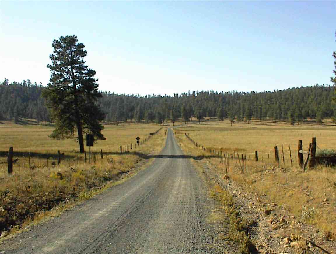
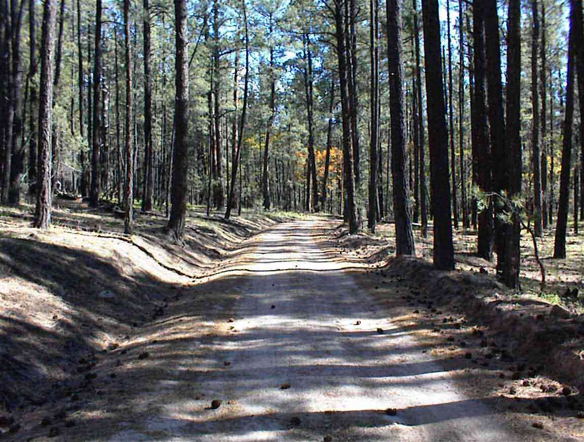
The road gradually climbed into the forest in the distance. This was a portent of what was to be much of the day: climbing into trees.
As the guidebook predicted, the road was steep so my speed was quite low. I also found myself skidding on the loose surface material when the grade was particularly steep. I was missing my old tyre which had much better traction than the one I got in Salida.
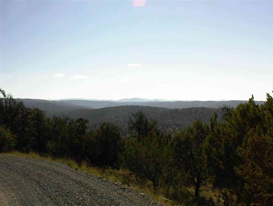
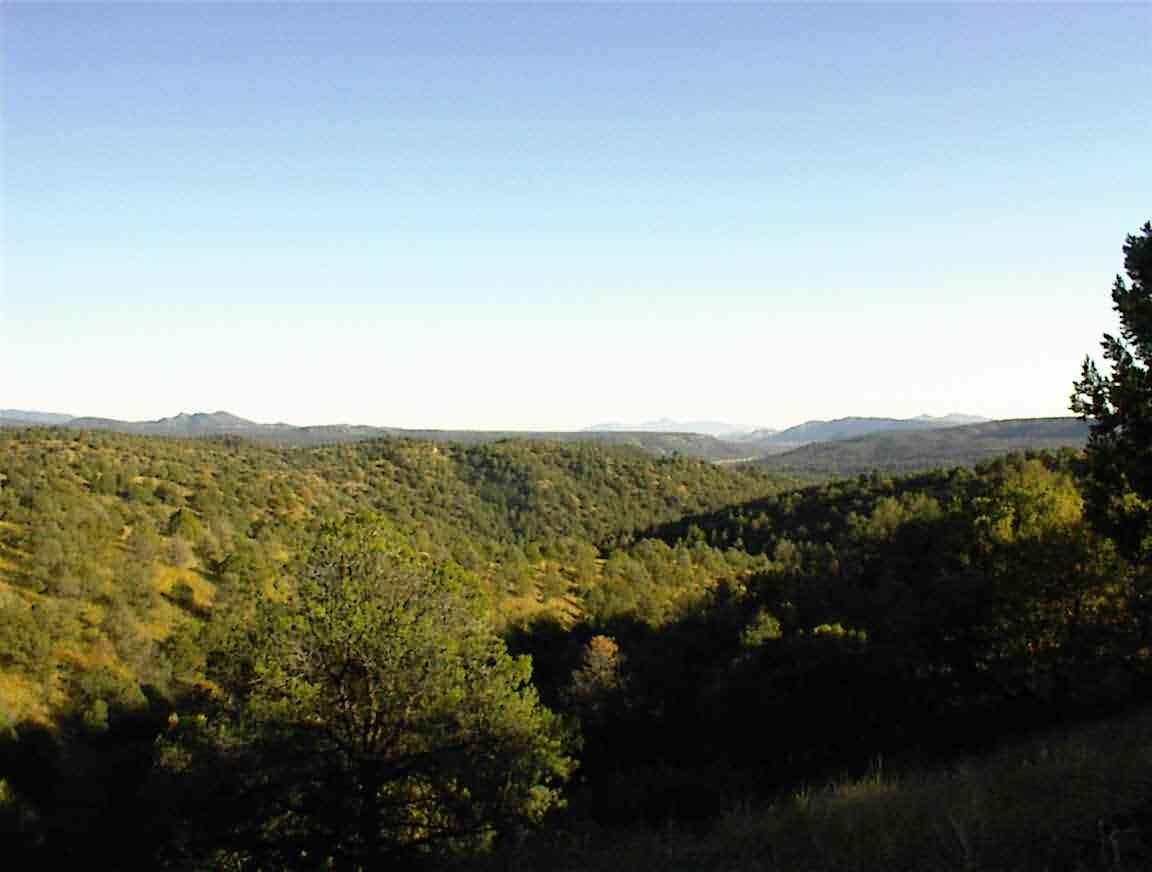
After a short time I crested and I was presented with the beautiful, but daunting, panorama below. The mountains went way off into the distance and the drainage was perpendicular to my direction of travel. This meant that I would have a series of ascents and descents as I had to cross each of the ranges. I was not overly concerned since my cycling fitness is quite good, but it was definitely going to be a tedious day.
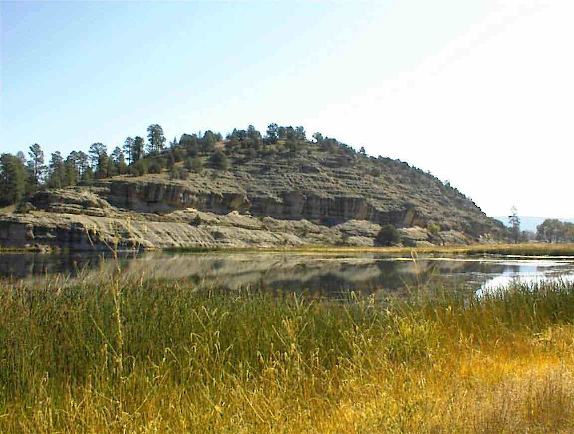
The first descent took me to Wall Lake. I had to admit that after my experiences with rivers and lakes in New Mexico so far I was not expecting to find anything more than a dry hole, but like so often on this trip I was in for a pleasant surprise. Nestled at the bottom of a valley between the mountains was a real lake, complete with ducks and other bird life.
On my map a campground was marked but there was no sign of it now. Instead, there was a series of 'Private Property', 'No Trespassing', and other such welcoming signs. It's a pity that such a lovely place cannot be appreciated by more people.
The road wound its way along a valley and then I had another long and steep climb up a poor road with my wheels slipping. At the top I was given the view below which showed the road winding its way down the canyon floor below. Excuse my big thumb at the left of the photo. This was 'Black Canyon', although with the sand coloured stone I couldn't understand the origins of the name.
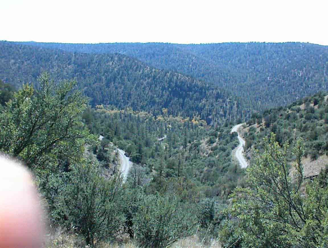
Normally I enjoy the downhills as a just reward for the effort expended going uphill. Not today. The road was so bad, with lots of loose stones, trenches across the road with big stones waiting to damage tyres, and tight corners with loose materials that I had to keep my speed to about 6 mph to maintain control. The steep cliff on the side also helped to focus me on staying safe. If I went off the edge it would be a long time before anyone would find me. It was such a pity as had this been a paved surface it would have been one of the great rides of all time.
Eventually I reached the bottom and I stopped for a lunch break. There was a branch of the Gila River and I parked my bike in the shade of the trees by the bank. I was intrigued to find a huge stone wall acting as a break across the river. An information board indicated that this was done to protect the indiginous Gila Trout from other more intrusive fish such as rainbow trout. At one point the Gila were on their way out but after some bad forest fires the non-native species were killed off and this provided the opportunity to help ensure the survival of the Gila.
This was something that I had heard about in Colorado. When we think of the damage caused by forest fires we usually don't think of the waterlife, but they too suffer. After this year's fires near Dorango Colorado so much sediment was washed into rivers when the rain arrived -- there was no longer sufficient forest/grass cover to keep it out of the water -- that the fish couldn't breathe and they all died off. At least here they used it as an opportunity to help the indiginous fish, but elsewhere it has been an absolute tragedy.
The map told me that I was to "begin another steep climb" to get out of the pass and that was not an understatement. However, it was a lot easier than some I've been on this trip, and at least there was no headwind or rain.
About half way up I heard a vehicle climbing behind me. It was only the second vehicle of the day so once again the route planners had done their job well by ensuring that we were on isolated roads. It was a forestry vehicle and the driver kindly stopped and asked if I needed any drinking water. I declined as I still had quite a lot from my morning's fill up at the Beaverhead work camp. I was depressed when he left since I saw him crawling up the hill ahead of me for some distance. I prefer to cycle without knowing the length of hills ahead of me. I keep on fooling myself that I'm almost at the top.
Once I crested I was treated by a delightful ride through forest on a relatively flat road. Actually, after the grades I'd climbed almost anything would seem to be flat! The trees towered above me and their fragrance was everywhere.
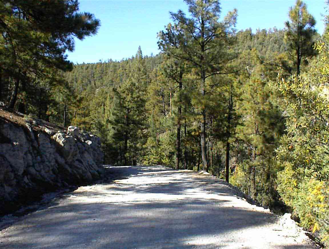
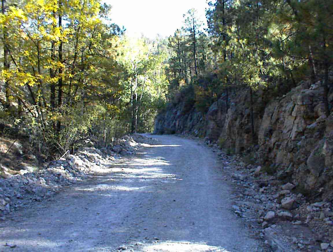
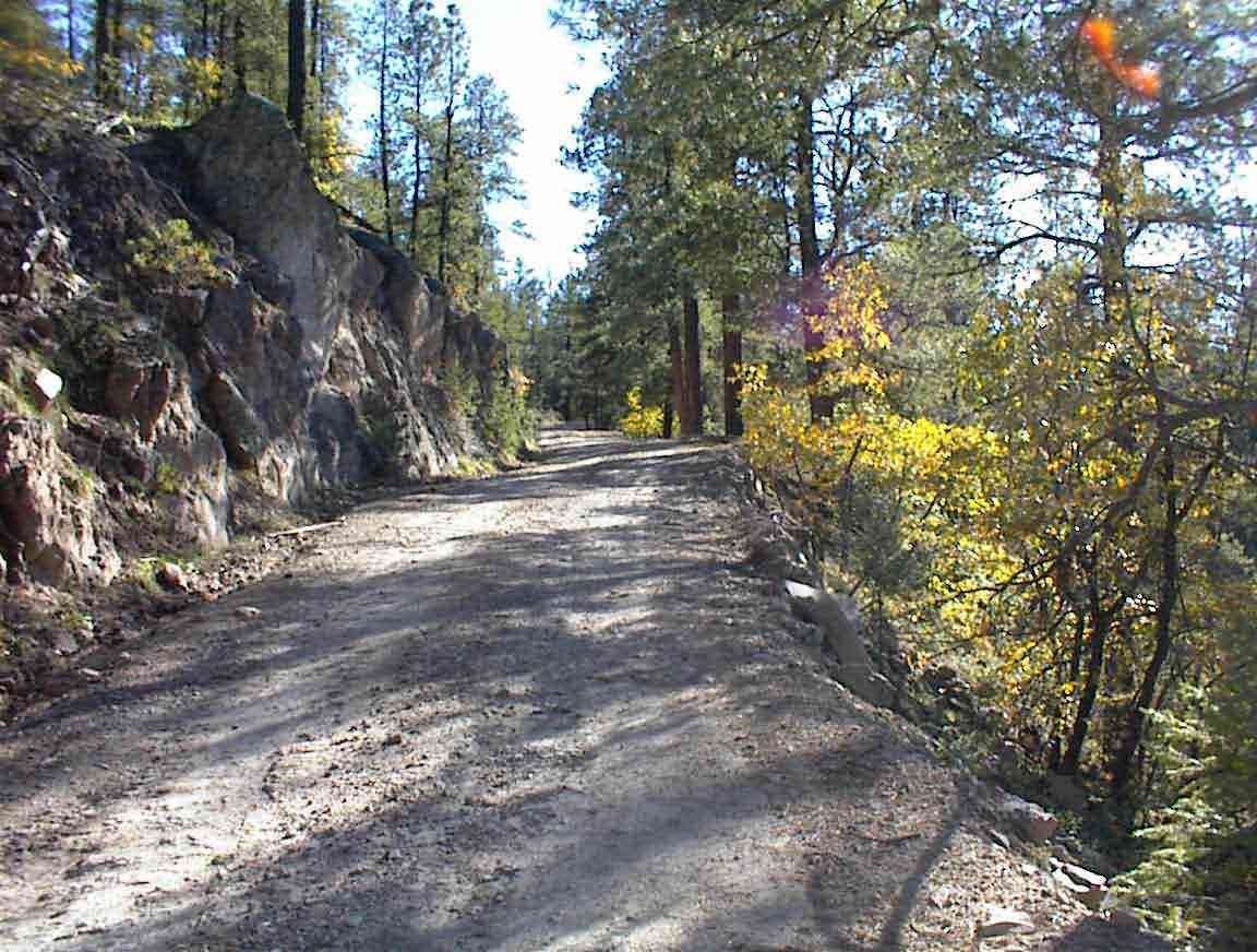
The next major descent took me down to 'Rocky Canyon' and at least I could see why it was called this. The road was covered in rocks, some quite large, and there were also frequent cuttings of the road where streams crossed. These created trenches that were filled with many angular rocks of all sizes -- the kind that can be fatal to tyres. Offsetting these traps for the unwary cyclist was the absolute beauty of the canyon, with walls rising on one side and trees all around. The photos below give an impression of what it was like.
A vehicle travelling in the opposite direction stopped for a chat. He was out elk hunting and was amazed that I had cycled all the way from Canada in 7 weeks. Actually, the word he was searching for was crazy and when I used that term he readily agreed. Of course I think that elk hunters are also crazy so everything is relative.
There was a campground at the bottom of the canyon but it must get very cold at night as the sun hardly reaches the floor. I stopped for a calorie break and finished off my bag of mini-Oreo cookies (Sean's favourite). I still had some more climbing to do and could use the sugar boost.
I then climbed again, this time towards the Continental Divide for about crossing #29. There were a few ups and downs on the way and at one of them I hit some stones too fast and blew my rear tube. Bother. I'd gone for some time without a puncture and this was the second in as many days. Blame it on the light conditions; in the late afternoon with the shadows the stones are often obscured and so it is difficult to stop in time. Then again, one shouldn't go faster than one can stop in ...
After putting in my last tube I was on my way again and soon I found myself at the top of the hill. I then commenced an 8 mile run along a ridge line which corresponded to the Continental Divide. The views were stunning, and I was particularly pleased to see that I was approaching the end of the mountains: I would soon be on the plains and hopefully have some easy cycling.
With no spare tubes left I took the downhill run to Highway 35 at a very slow pace. It was also late in the day and I had been cycling for almost 8 h so I was a bit tired -- best to go slow when one's concentration is lapsing.
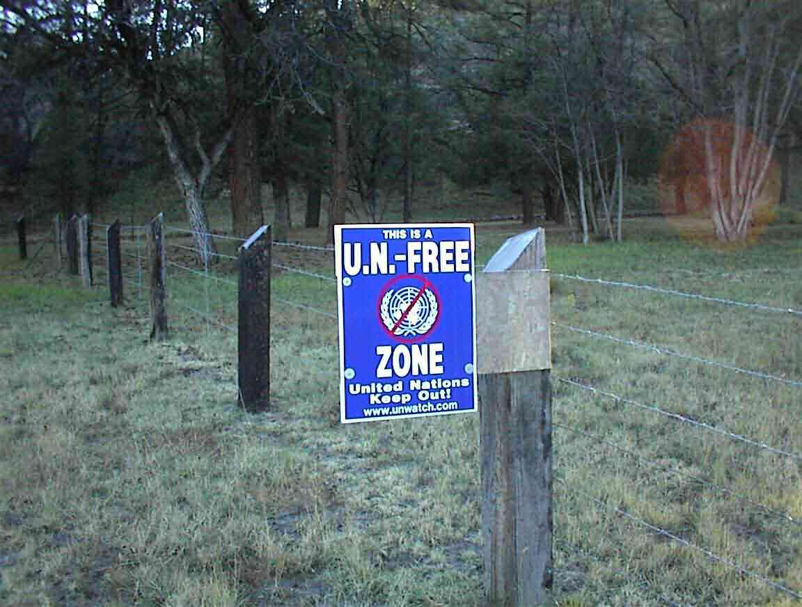
I turned south on the highway towards Mimbres. It was great to be on a paved road again: it's been 4.5 days and many miles of unsealed road. The road was downhill towards Mimbres so I was able to freewheel at 18 mph for much of the way. Initially I was still in Gila Forest, but soon the forest ended and there were tidy farms and houses lining the road. They must be interesting people in the area as evidenced by the sign below, several of which I saw. What the U.N. would be interested in Mimbres for is beyond me.
I stopped at the Ranger Station and although it was closed there was a ranger in the parking lot. He told me that I could camp anywhere in the park area as long as I was more than 100 yards from a road. Sounded good to me. There was also a restaurant 300 yards away so I cycled down to find a phone and get a proper meal.
The 'Cattle Guard Restaurant' didn't have much vegetarian fare but the guys rustled me up some Mexican beans with rice along with a baked potatoe. I also got a Sobe energy drink so I felt pretty good by the end of it. The blueberry pie with ice cream was a real treat. Before dinner I went into the restroom for a wash and was amazed that they let me in. It's been several days of roughing it and I looked a sight with my stubbly beard, greasy hair and scruffy demeanour. Good thing I'll be in Silver City tomorrow night and have a motel room. I might get arrested as a vagabond!
I worked on my journal until they closed and then went down the road to find a place to camp. The cook had advised me that I could find a good spot about a mile down the road at the canyon and that I could camp anywhere. It was pitch black as I cycled off with the only light coming from the sky full of stars above and my halogen headlamp. Fortunately there was no traffic on the road save for a single vehicle travelling in the opposite direction. I wonder why they always find it impossible to dim their headlights when approaching a cyclist at night?
After a mile I found myself in a section without any fences to the right so I stopped and took the first driveway that I found. It didn't look like it led to anyone's house so I presumed I was in the right spot. I found a semi-level place to camp about 15 m from the road, partially obscured by some large trees and proceeded to pitch my tent. I'm always a little worried when I do this that I will wake up to find myself on somebody's front yard -- a shock to all parties involved.
I was soon in my tent listening to the Elk bugling in the distance and the local dogs barking in reply. My radio provided me with company until I began to drift off to sleep. Tomorrow night I would have the luxury of a motel room and a real bed. It will also be great not to have to wear several layers to keep warm. I can't wait...