Day 5: Bigfork to Cedar Creek - 41 miles
While Sean continued to snore away next to me I had worship and read some Christian magazines I had picked up at the supermarket yesterday. It was nice to have some quiet, reflective time. Eventually I dragged myself out of my tent and had breakfast while admiring the lake.
All good things come to an end and eventually Sean rose and after breaking camp we had a very late start at about 11 a.m. There was a lung clearing uphill from the camp to the highway and from there we headed uphill further to the Swan River crossing where our route started again. As we passed last night's hamburger restaurant I was tempted to have an early lunch, but fortunately it was closed.
The first 6 miles of the day was on paved roads and it was nice to be on a firm surface without dust. Like all good things this came to an end and we found ourselves on a very dusty road heading towards the mountains. There was dense forest to the sides intersperced with farms growing all sorts of crops, but again no animals. One farm had a home garden which was bedecked with plastic bags on poles. Hopefully to scare away birds and not some eccentric local practice.
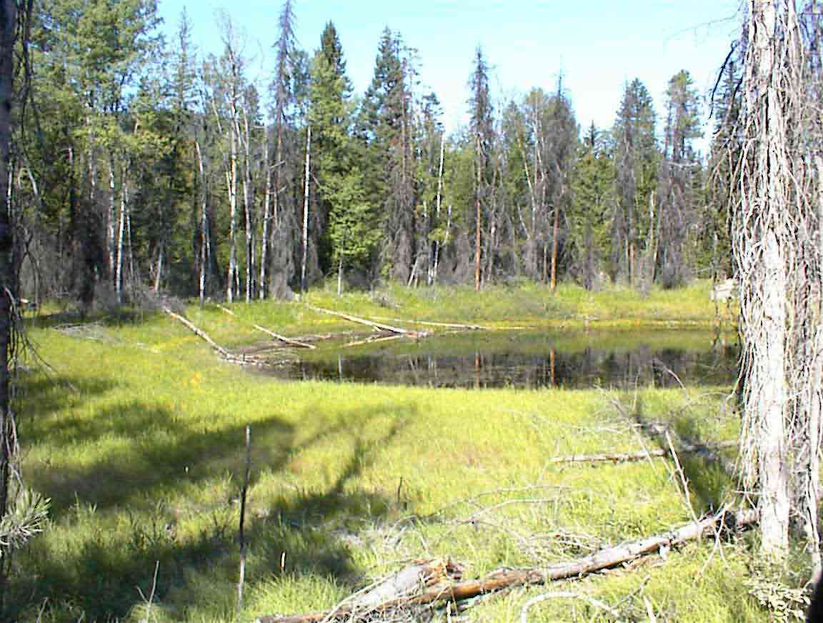
There were some lovely ponds we could see in the woods and an example of one is shown below. Yesterday the area was much drier and every pond we passed like this was empty. Shortly afterwards we saw a deer in the woods--a stunningly beautiful animal who looked at us before bounding deeper into the trees.
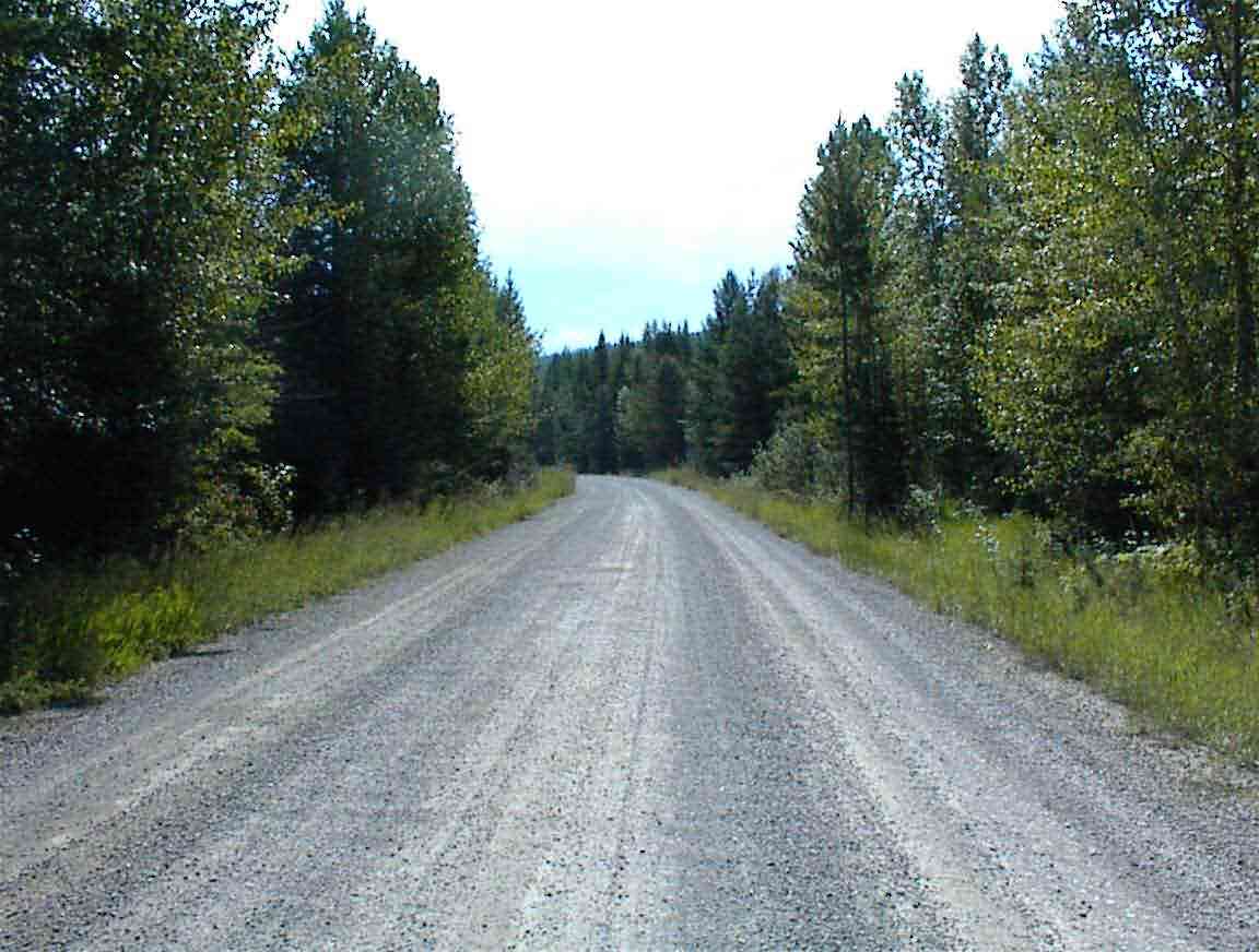
The people who planned this route did a good job by ensuring that the roads were not heavily trafficed. While there are other roads that parallel the Continental Divide which would give a much more direct route, like most cyclists I prefer the less travelled roads, even if the surface affects one's backside and everything gets covered in dust.
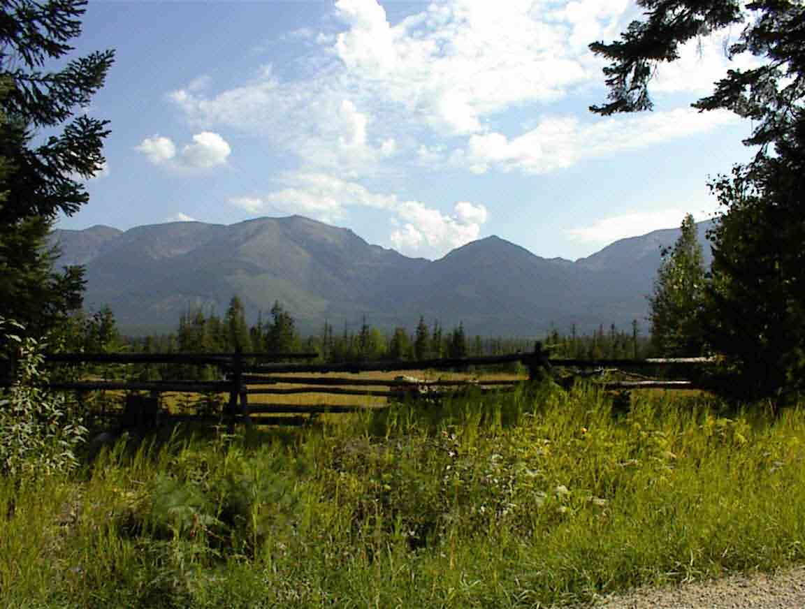
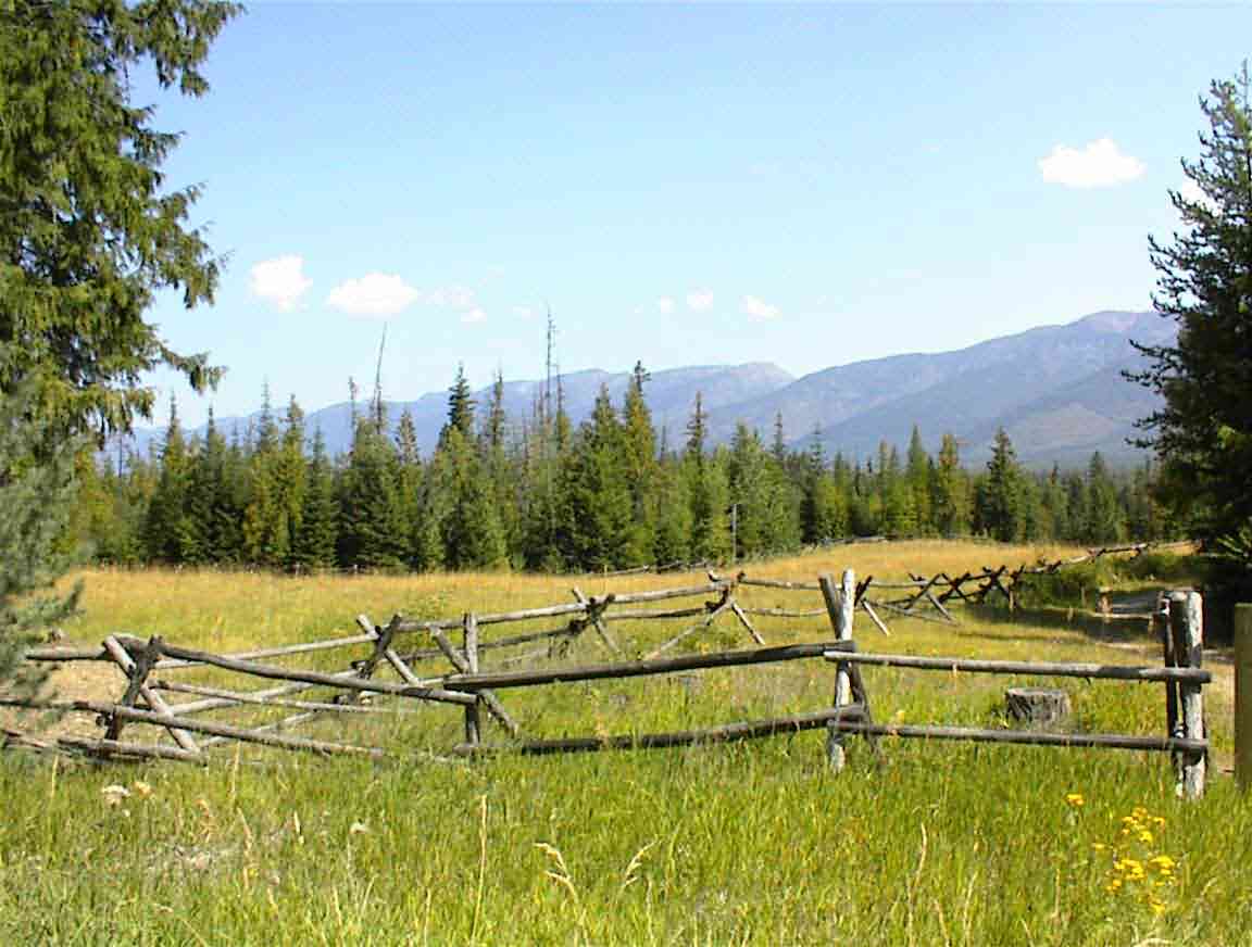
One local practice which is quite different to NZ is the fencing. Many of the fences are attractive horizontal rails on a cross brace such as that shown below. An American friend said that they are commonly used where the soil is too stony to sink in posts. Whatever the reason they make me think of the American west and I like them.
Eventually we started on the unpleasant task -- traversing the mountain. When we got the maps of the trip we knew that today would be bad, but neither of us had anticipated just how bad it would be. There was a six mile (10 km) continuous uphill section with grades at time in excess of 8%. It took us up over 2,000' and we fought for every foot of elevation.
At the start of the climb we stopped at a fork in the road to have an energy bar and a drink. A fellow drove up and asked if we were planning on cycling to the top. He said that it took 1.5 h with no gear on a bike, and at least 2 or more with gear. He also said it was good that there were two of us since there were bears. Great.
About 2 minutes later a woman drove up and told us the same thing, only this time adding that there were also cougars. She said it was a hard ride which we found discouraging, as she also said that she was a triathelete (and looked like on).
After such positive advice we were on our way up and it was tough. It was about 12:30 when we started and it took us just under 2 h. Not bad going all things considered. At one point Sean complained that I was going too hard which confused me since my heart rate was only 128 bpm; I then found that I had accidentally reset the counter to the average rate and when correctly set I was closer to 150 bpm. Silly boy.
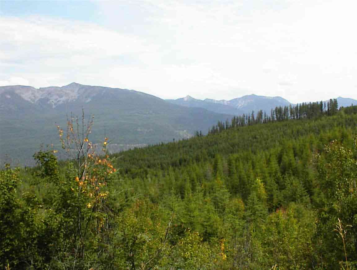
We counted down the six miles and the views as we approached the top were stunning (see below). The trees surrounding the road were massive, towering above us by up to 50 metres.
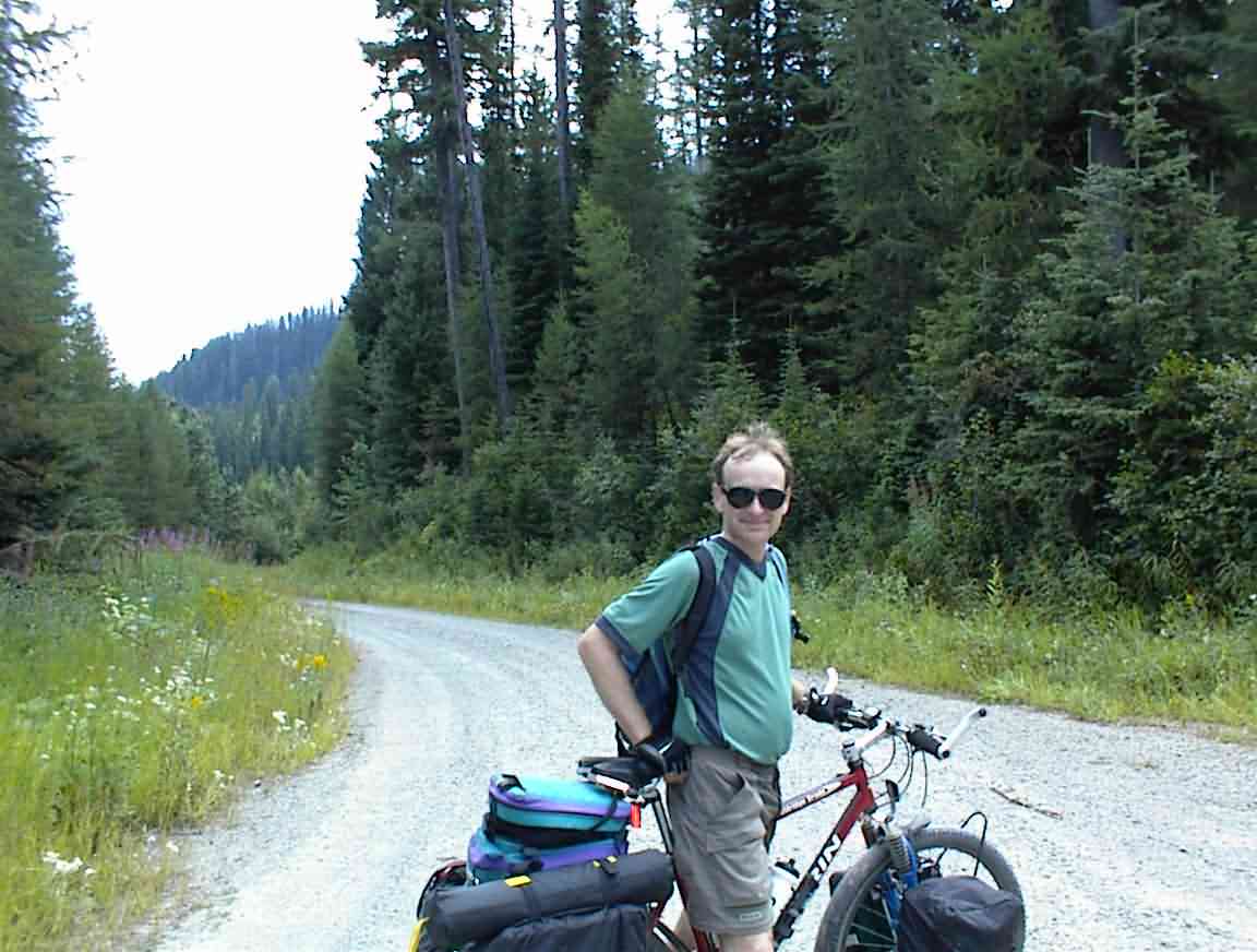
Eventually we crested and managed to find enough energy for the two photos below. This was definitely one of the harder slogs I've done, but hopefully it is good training for what is to come.
We stopped for lunch at the top; a tin of baked beans for me and a tin of corn for Sean. A vehicle drove up and we met Kitty, Denny and Bailey. Kitty and Denny were out collecting huckleberries and mushrooms and Bailey, their golden retriever, was along for the ride in the enthusiastic way that dogs always are. He ran over, sniffed us, checked out the bikes, and then bounded back.
Denny shared with us some huckleberries which were very tastey. He told us that the indians called them ferret eyes because that is what they look like when you view them from a certain angle. I've never seen a ferret eye, but I could believe that they looked like a huckleberry.
There was a large patch of mushrooms where they stopped and they enthusiastically told us how delicious they were. I've always been a bit shy about eating field mushrooms, even the ones Lis finds in our back yard, but they did make them sound extra special.
Denny shared with us some stories about Montana. The most interesting was a recent trip of his to the east of the state to visit a place where the indians used to kill buffalo. Apparently, the indians only got the horse in the 17th century and before that they had to hunt buffalos on foot. What they did was drive them over cliffs and then pick up the pieces at the bottom. Mighty good idea. He said that you can find lots of 600 year old buffalo bones at this place and he returned with the complete skull of a buffalo. Not my type of ornament, but a fascinating story.
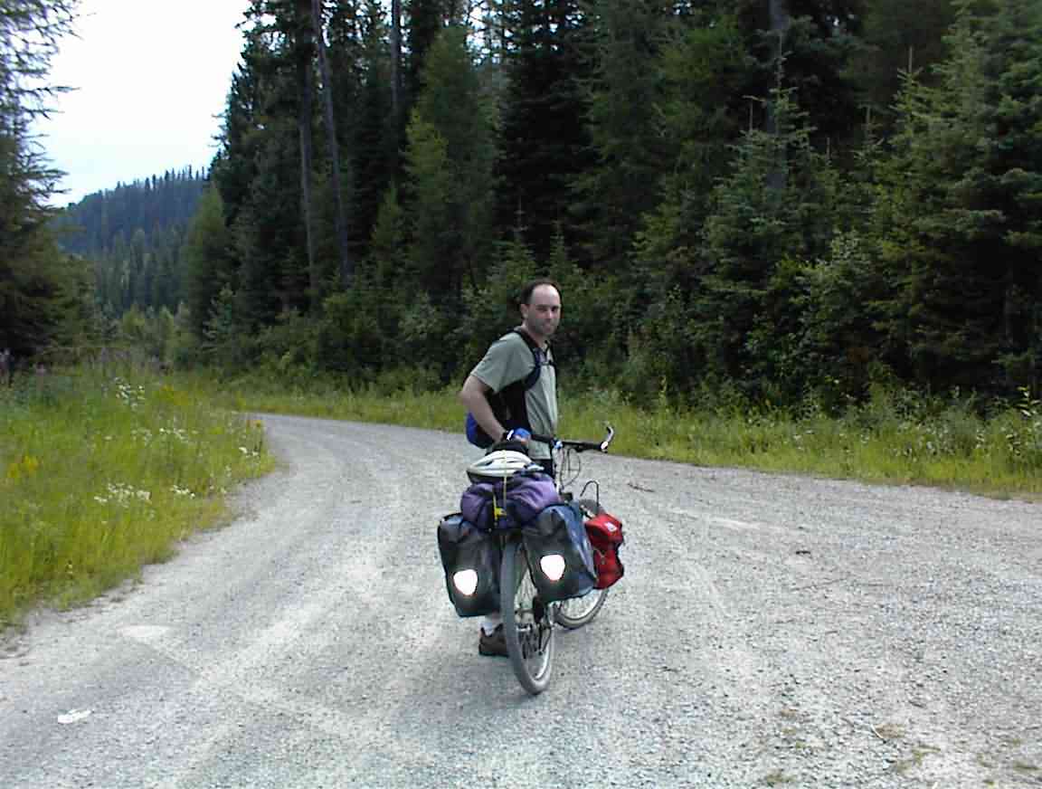
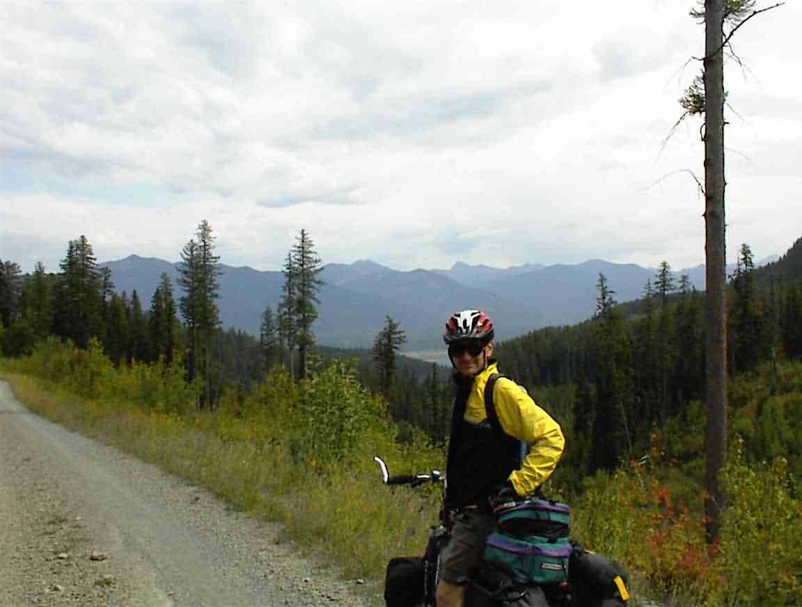
The one advantage to such a long slog uphill is the downhill run and this one was spectacular. Unlike two days ago, the surface was excellent and we hooned down the road hitting 30 mph--which is quite an adrenalin rush on an unsealed road with a laden bicycle! Since we were so high up it was quite cold and I stopped to don my jacket, using the opportunity to take the photo below of Sean at a switchback.
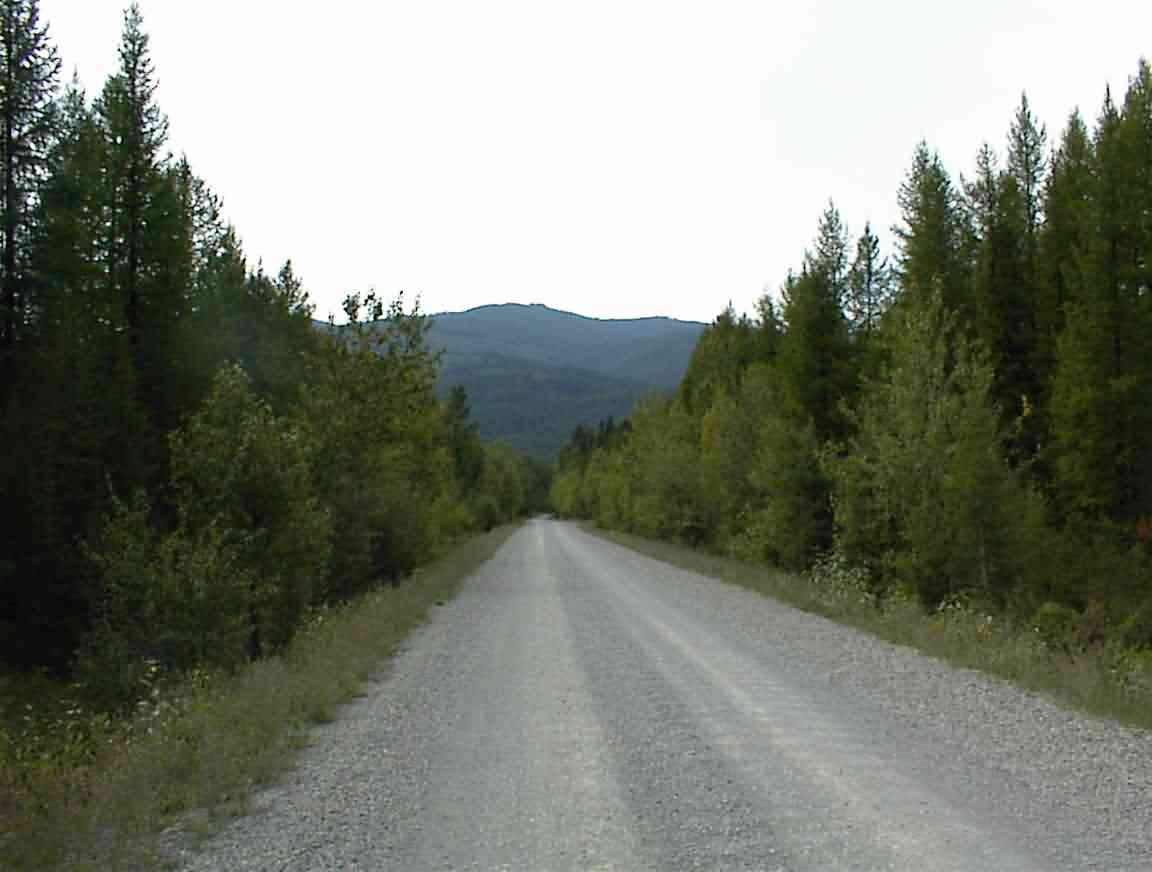
The photo below gives and idea of how high we were; our descent took us to the floor of the valley in the distance. It was great.
At the bottom we skirted a nature reserve on a road lined with huge trees. It was very humid and whenever we stopped for a drink we were innundated with mosquitoes. This helped to spur us on and not dawdle.
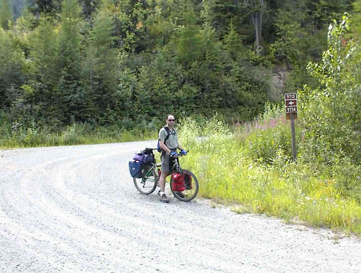
At a T junction I misread the map and we turned left instead of right. We crossed the Swan River but when we reached the Swan Highway (after about 2 miles) we knew we had made a big mistake. Sean then mentioned that he had seen an arrow at the intersection pointing in the other direction but didn't say anything. We had seen regular arrows on the road marking our route, obviously trail blazed by someone else. I'm sure Sean won't repeat the mistake again.
One advantage of this mistake was that it allowed me to take the photo below. The top of the mountain is what we had just crossed, and we started at an elevation lower than where this photo was taken.
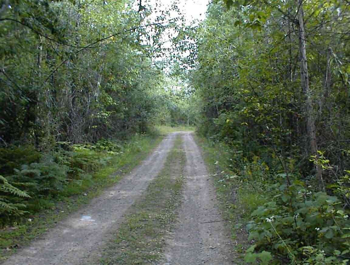
After retracing our steps we found ourselves on what the guidebook called a "primative" road. That's for sure. In many places the surface was just packed earth. However, it was a magical ride insofar as it took us through stands of forest which at times almost formed a canopy over the road.
The biggest problem that we had was that we were both tired and the route was a series of unrelenting ups and downs on a difficult road. Looking at the elevations afterwards it was evident that there was at least another 1000' of climbs that we did, often in the short lung bursting segments which don't allow you to gain sufficient momentum on the downhill sections to offset the grade. Not the most fun, but at least it was in a beautiful setting. Steve warned us a few days ago that New Mexico will be like this; but without the beauty.
Just to add a bit of excitement, my bicycle started acting up making it difficult to peddle. But it wasn't so bad as to be worth trying a field repair so I just soldiered on, cursing the machine occasionally.
My map reading skills were at an all time low today and after reviewing things Sean and I decided that we were closer to our destination than we had thought. A good thing as I don't think we could have gone a lot further. Eventually we found the campground where there were 2 other cylists, and one of their wives and children in a vehicle.
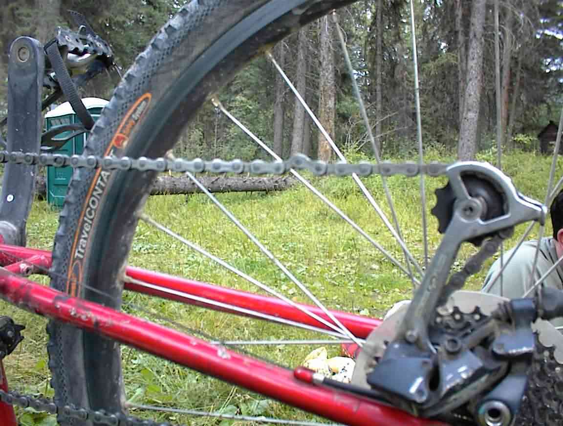
After setting up camp we enjoyed a dinner of noodles and rice--just what we needed. I then set about diagnosing my problem and it was a pinched link (see below). I tried various fixes, none of which were successful, so we gave it a good lube and left it until the morning.
The campsite was adjacent to a creek and, like elsewhere in Montana, very picturesque. It was also full of mosquitoes so we sprayed ourselves liberally and thanked the engineers who came up with such good formulae. After we had filled our waterbottles it began to rain so we put our food in the toilet block, securing the door very inadequately with a bungee cord and retreated to our tents. It was quite the lightening storm and I was glad to be snug in my tent.
While Sean went to sleep I completed today's journal. It was a long, hard day but at least tomorrow is an easy one by comparison. Day 7 will be the fun one--we start off at 4,200' and crest at 7,500', with a number of 500' climbs afterwards. As my father would say, challenges like these build character. Something that I'll have oodles of by the end of the trip.